Loading…
Track Record
Experience built through the complete development of a cattle operation.
Our capabilities come from direct involvement in real projects.
The following case studies demonstrate the partners’ practical experience in transforming rural properties into structured and productive cattle operations.
The owner’s identity and precise location remain confidential.
Case Study
Fazenda Parlamento
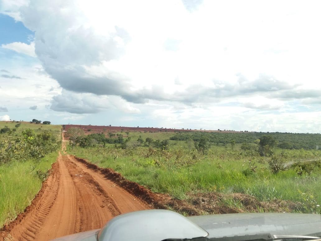
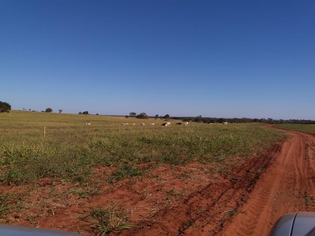
Fazenda Parlamento was acquired in 2017 and sold in full operation in 2019.
The project involved the complete development of an 832-hectare property, with approximately 602 hectares dedicated to cattle production.
Development began with a complete technical assessment — including soil analysis, drone mapping, digital terrain modeling and engineering planning for the operational infrastructure.
Operational Results
Historical operating performance across the development of the asset.
Operating Result
1246.21
R$/ha
Project completion2019
Annual Profitability
35.40%
per year
Project completion2019
Herd Size
1522
head
Stocking Rate
2.20
AU/ha
Beef Production
16.1
@/ha/year
2017
- Herd Size
- 0
- Stocking Rate
- 0
- Operating Result
- 0
- Annual Profitability
- 0%
- Beef Production
- 0
2018
- Herd Size
- 895
- Stocking Rate
- 1.54
- Operating Result
- 801.40
- Annual Profitability
- 22.70%
- Beef Production
- 8.4
2019Latest
- Herd Size
- 1522
- Stocking Rate
- 2.20
- Operating Result
- 1246.21
- Annual Profitability
- 35.40%
- Beef Production
- 16.1
Methodology: Results are calculated using the COE, COT and CT cost methodologies.
Challenge
The property had to be developed entirely from scratch. There were no productive pastures and virtually no operational infrastructure.
The challenge was to transform an abandoned rural property into a modern and highly productive cattle operation.
Scope of Work
The scope of work included:
- environmental licensing and regulatory approvals
- authorized vegetation clearing
- timber recovery and management
- soil correction and fertility improvement
- contour terraces and erosion control
- pasture establishment
- fertilization program
- deep water well (187 meters / 10,000 liters per hour)
- complete water distribution system with pipelines, reservoirs and water troughs
- division into approximately 40-hectare production modules with 5-hectare paddocks
- rotational grazing implementation
- feeding areas
- concrete feed bunks
- internal gravel roads designed for mixer wagon operation
- feed mill construction
- storage capacity for approximately 100 tons of corn and 100 tons of protein supplements
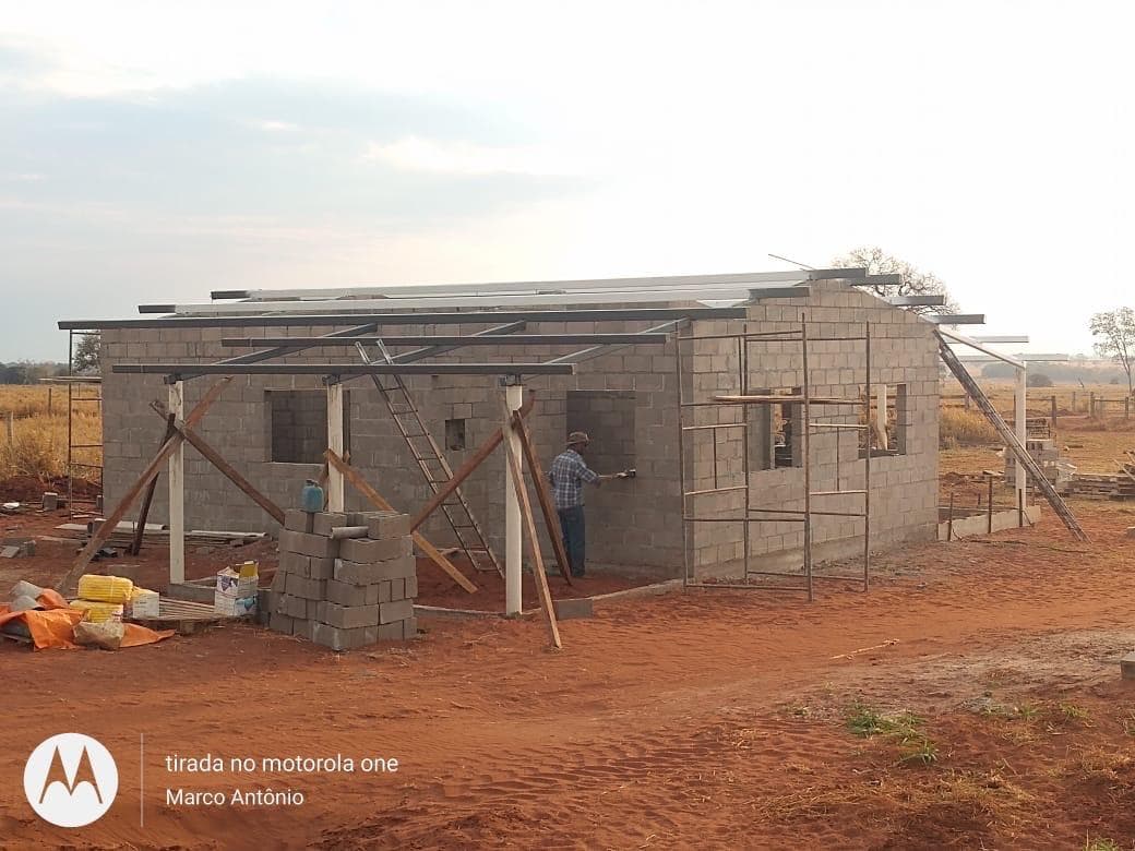
- operational infrastructure including headquarters, housing and cattle-handling facilities
Results
The project was fully completed within approximately two years.
When the property was sold in 2019 it was already operating as a modern integrated cattle production system, with established pastures, complete operational infrastructure and an efficient intensive feeding system.
Verified Metrics
832 hectares
total property area
Approximately 602 hectares
dedicated to cattle production
2017–2019
acquisition to sale in full operation
Approximately 2 years
full development timeline
187 m / 10,000 L/h
deep water well
100 t corn + 100 t protein
on-farm storage capacity
~40 ha modules / 5 ha paddocks
rotational grazing layout
On-farm feed mill
local feed production
Construction Timeline
Original property & land clearing
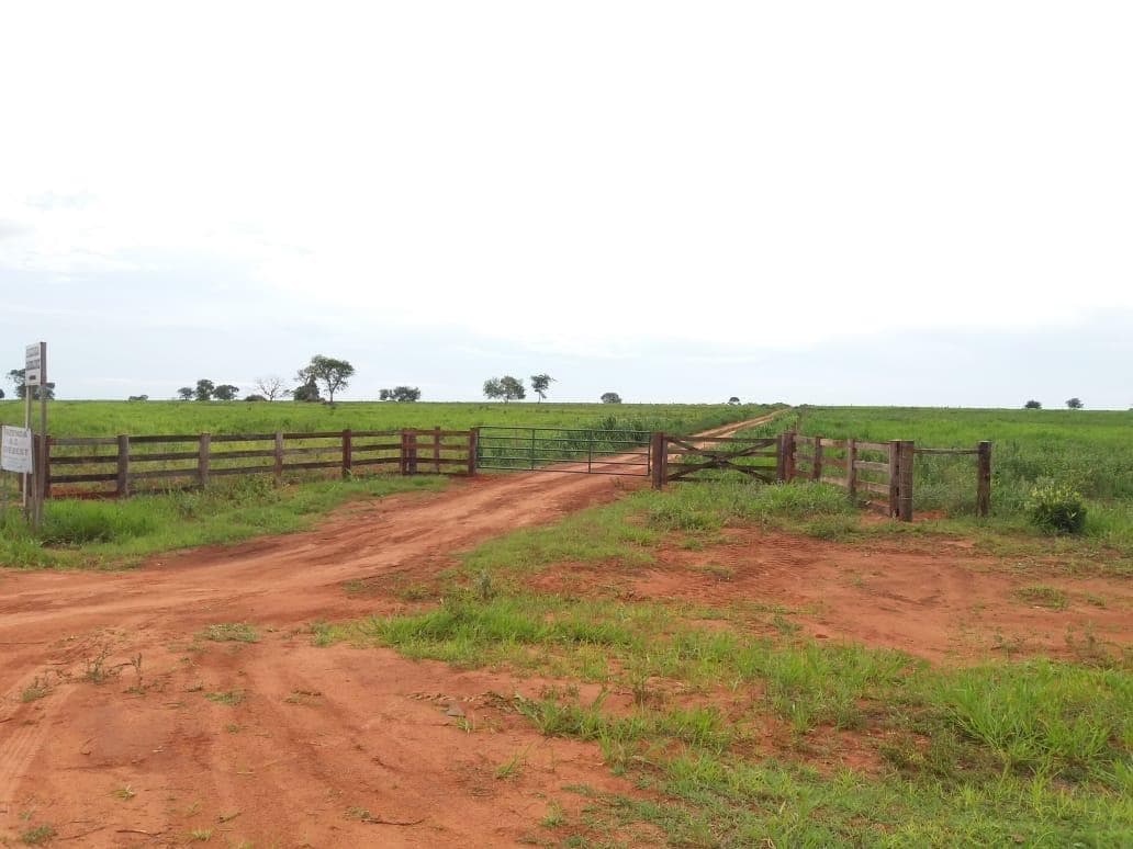
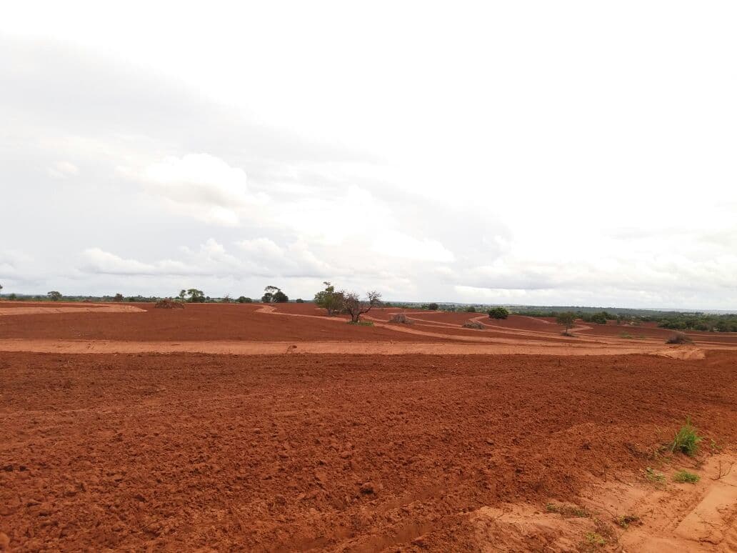
Soil preparation & conservation
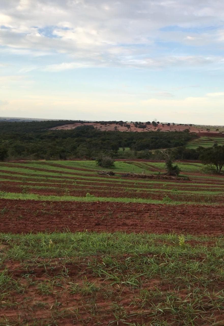
Pasture establishment
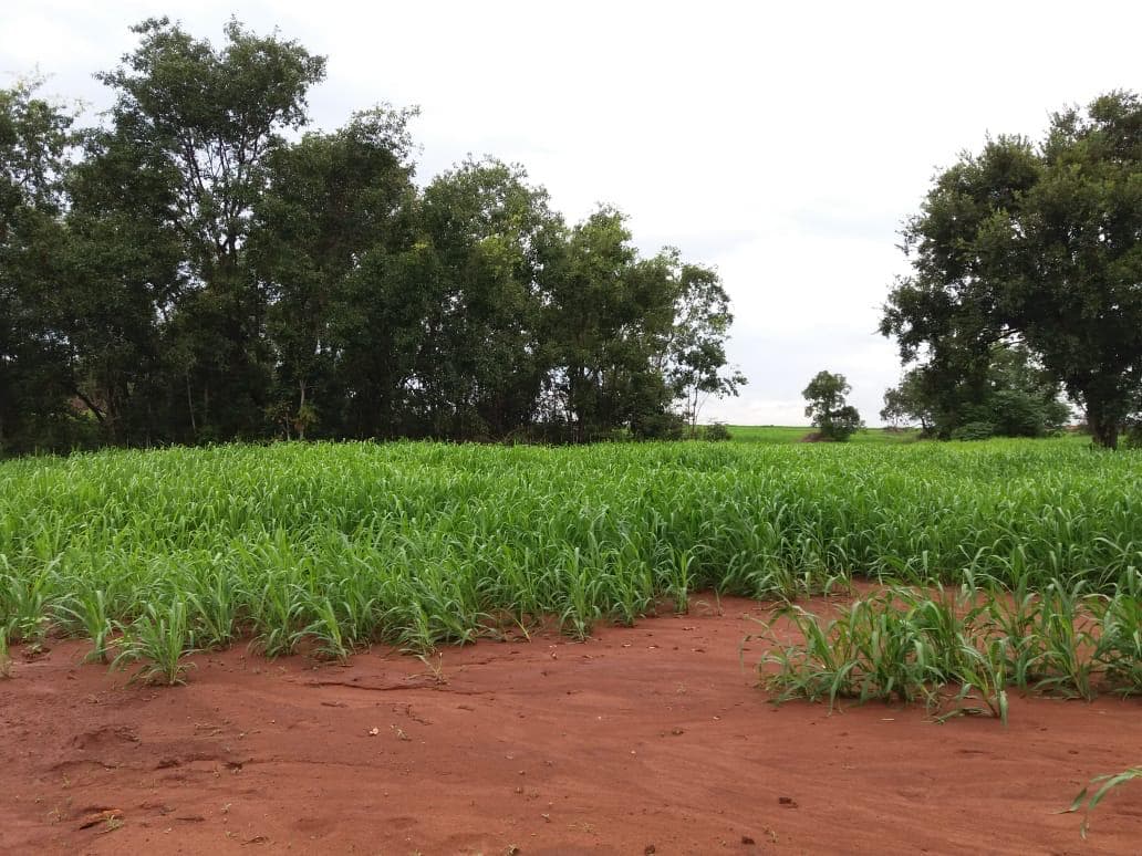
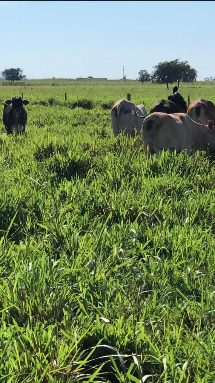
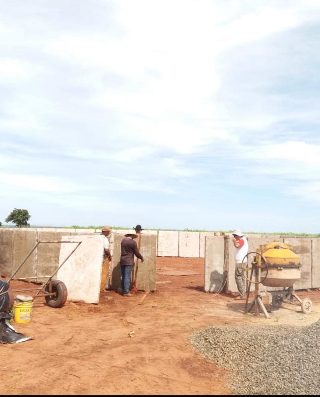
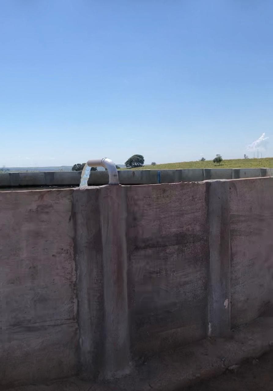
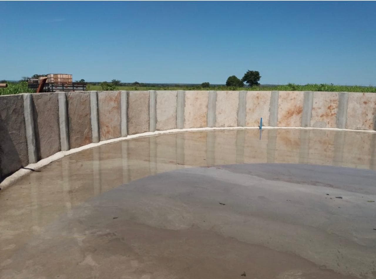
Water infrastructure
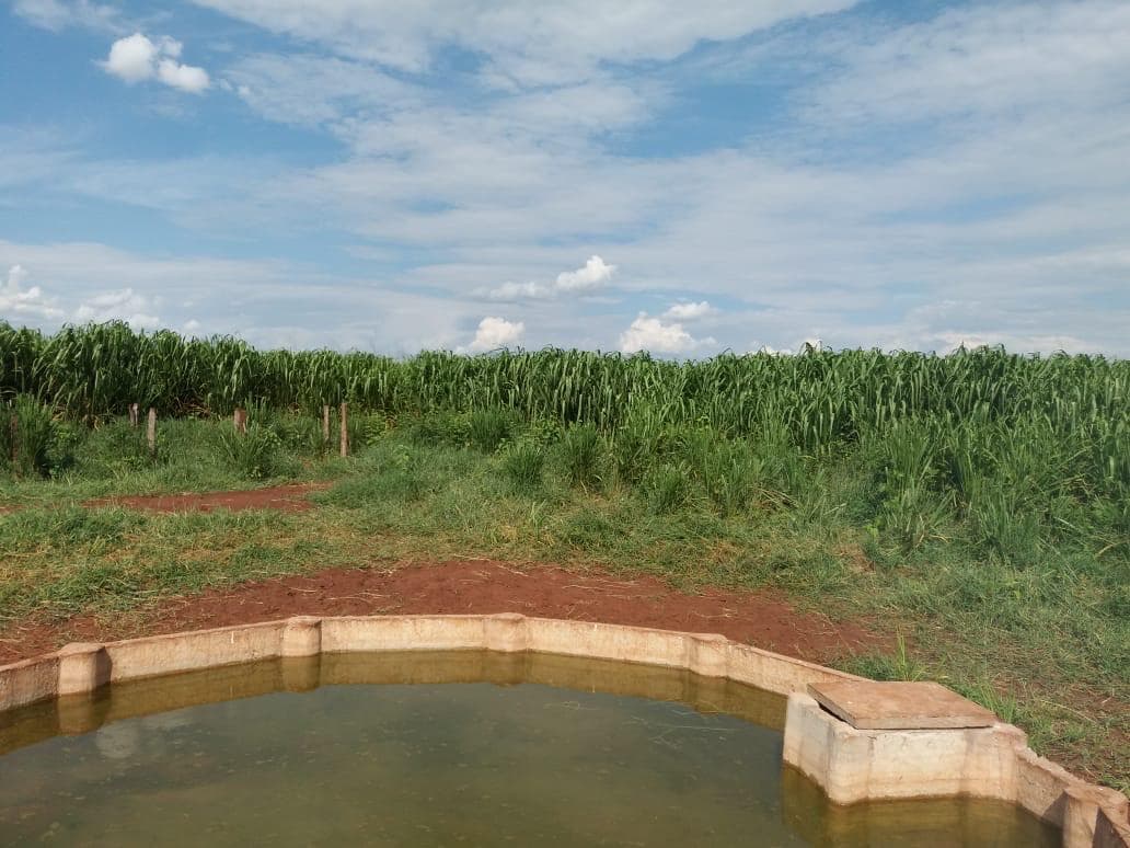
500,000-liter water storage tank
Feed bunk
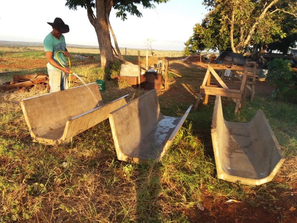
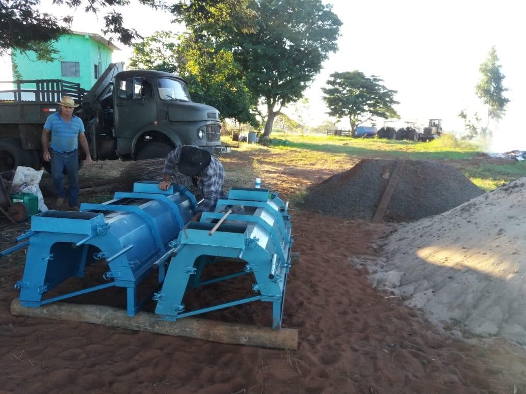
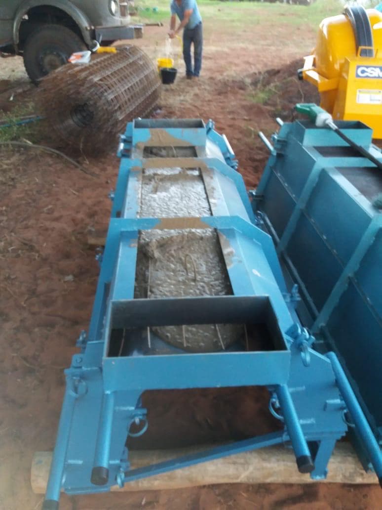
Feedlot infrastructure
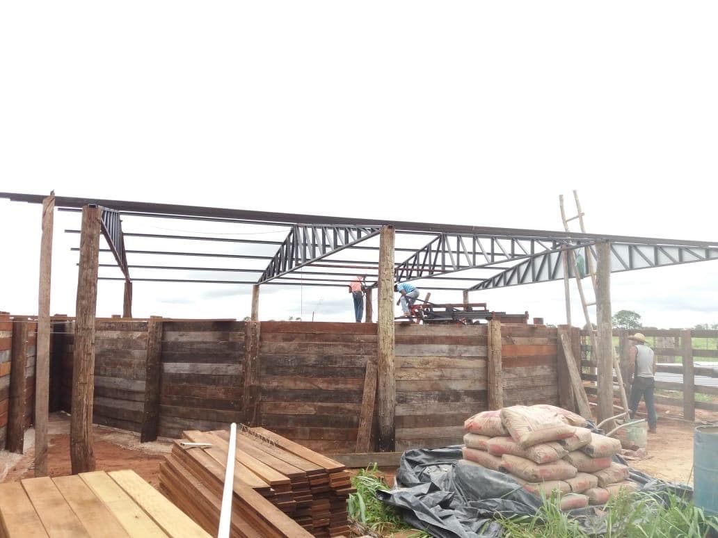
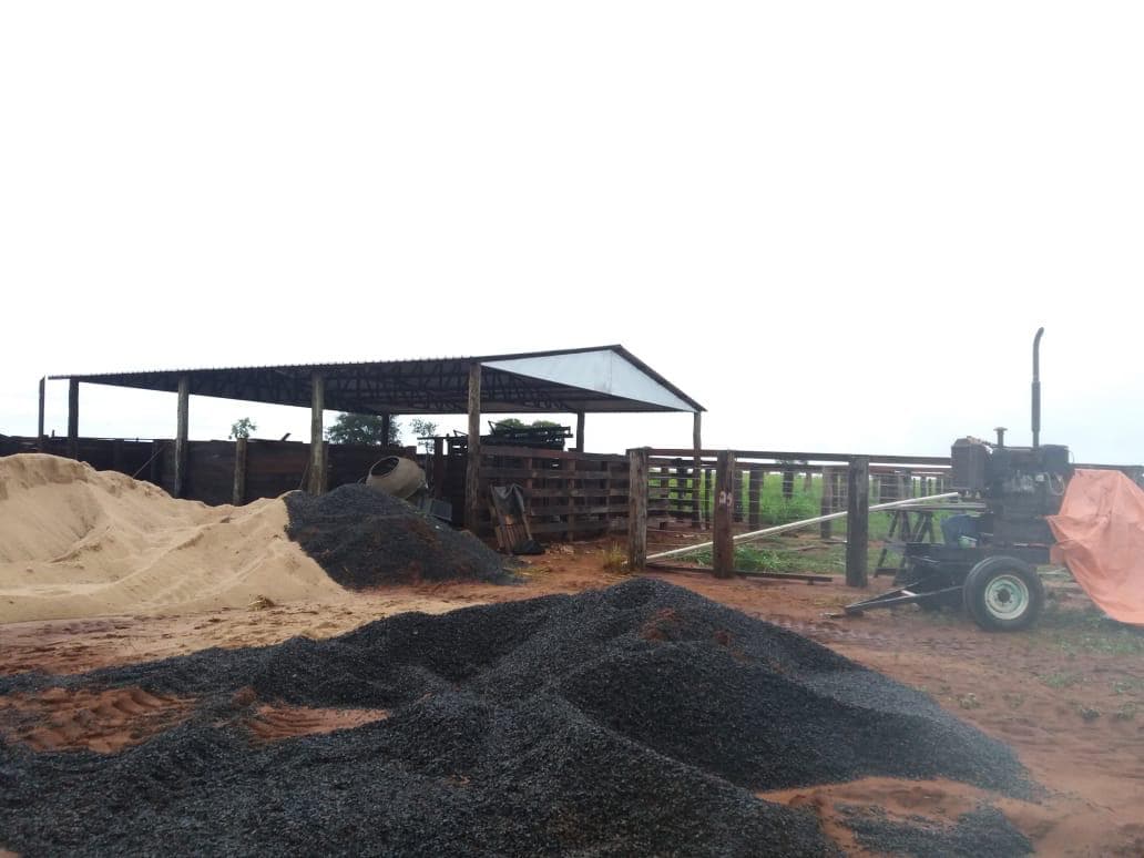
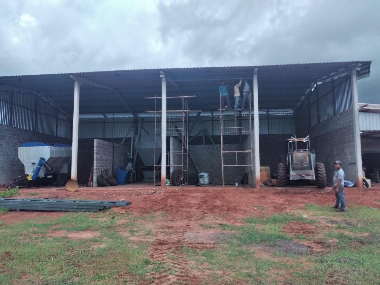
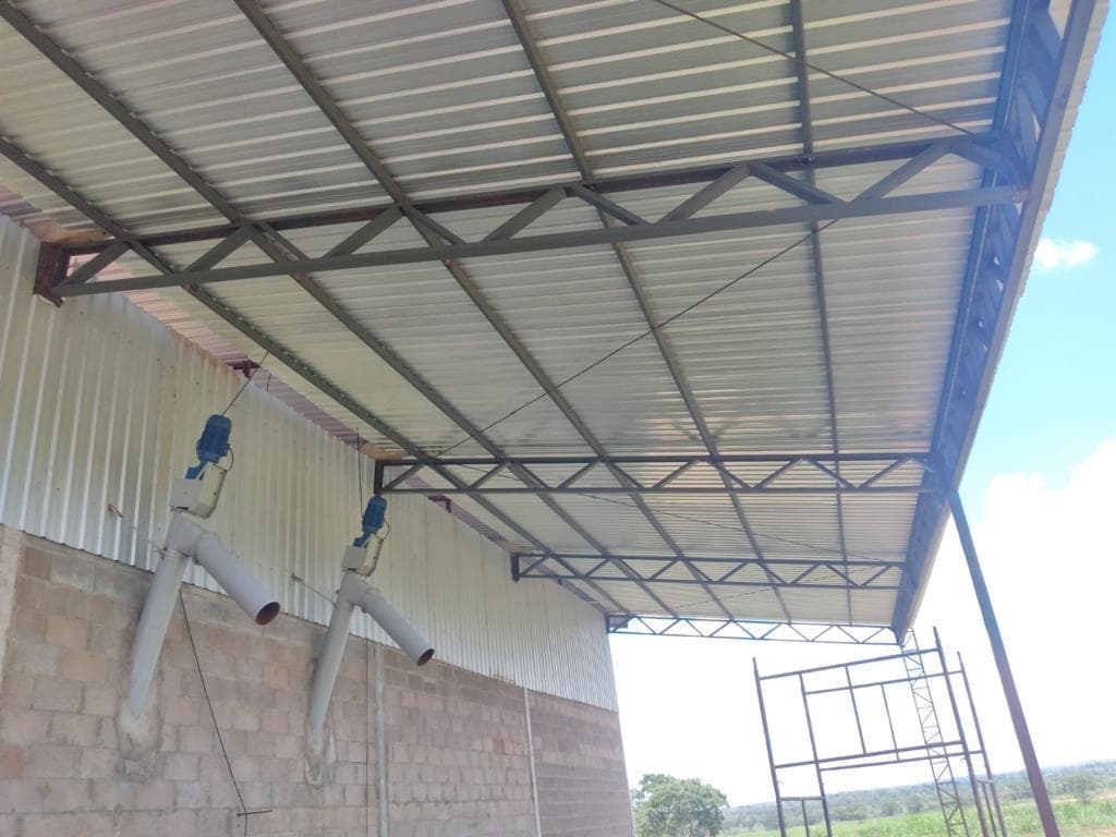
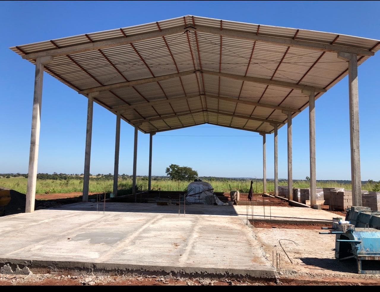
Operational buildings
Finished operation
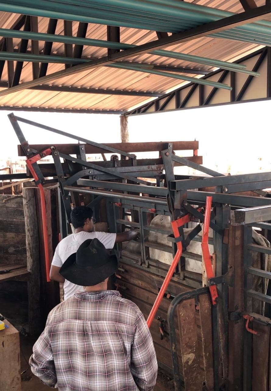
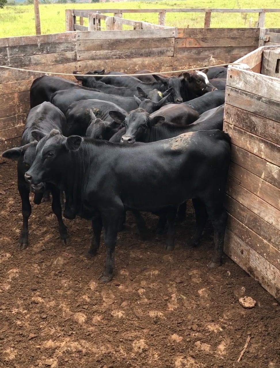
Engineering & Technical Evidence
Every stage of the project is backed by georeferenced technical documentation:
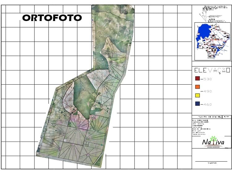
Orthophoto
Georeferenced aerial base map used as the foundation for every subsequent planning layer.
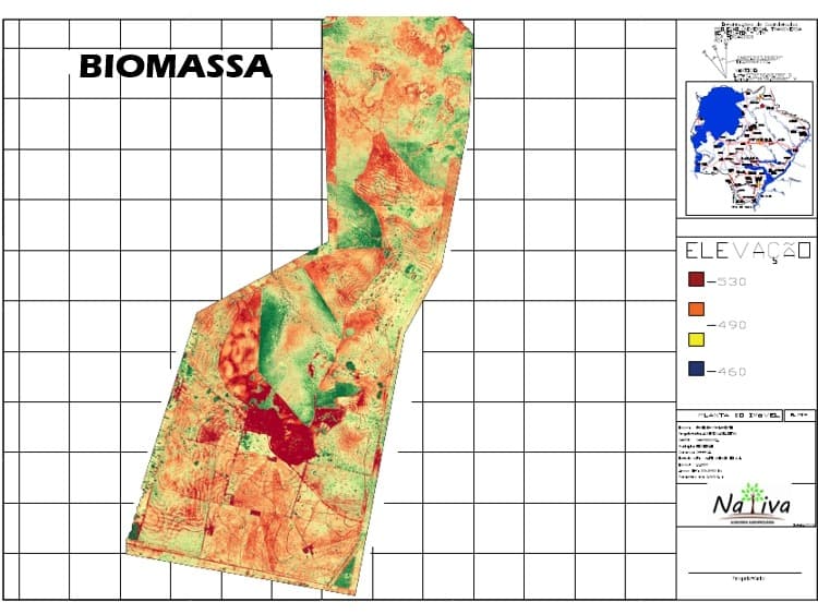
Biomass / Vegetation Index
Vegetation-index analysis used to assess ground cover and guide pasture recovery.
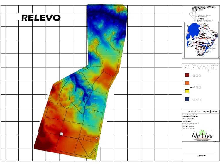
Elevation & Relief
Digital terrain model used to plan contour terraces, drainage and water distribution.
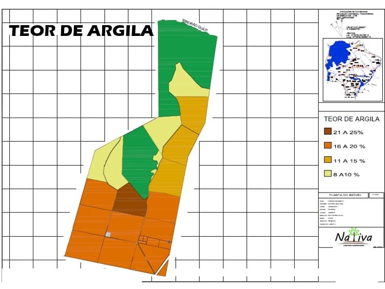
Soil Clay Content
Soil texture mapping used to inform correction, fertility and management decisions.
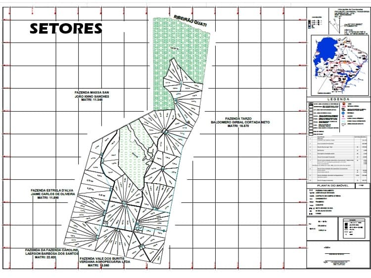
Production Sector Layout
Engineering layout dividing the property into production modules, paddocks and infrastructure.
Why This Matters
This project demonstrated that severely degraded rural properties can be transformed into productive, high-value cattle operations through disciplined planning, technical execution and integrated operational management.
The methodology developed during this project became the foundation for the investment and operational approach Oregon Farm Partners continues to apply when representing international investors.
Confidentiality
The owner’s identity and precise location have been omitted.
This case study describes a real project carried out by the partners.
Case Study
1,045-Hectare Cattle Ranch Development
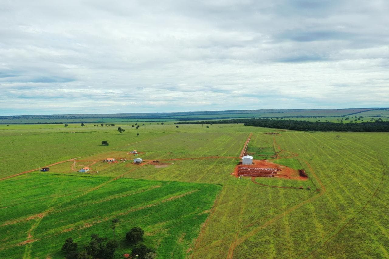
Inherited in 2022, this cattle ranch entered a comprehensive development program in 2024 that remains in progress.
The project covers a 1,045-hectare property, with approximately 900 hectares dedicated to productive use. The engagement began with drone mapping, soil sampling, and technical assessments that guided pasture rehabilitation, infrastructure planning, and land division.
A comprehensive short-, medium-, and long-term business plan was developed, defining production targets, investment priorities, annual budgets, and commercialization objectives.
Operational Results
Historical operating performance across the development of the asset.
Operating Result
1008.55
R$/ha
Latest available year2025
Annual Profitability
25.40%
per year
Latest available year2025
Herd Size
1812
head
Stocking Rate
1.23
AU/ha
Beef Production
12.02
@/ha/year
2024
- Herd Size
- 846
- Stocking Rate
- 0.59
- Operating Result
- 105.02
- Annual Profitability
- 2.20%
- Beef Production
- 3.54
2025Latest
- Herd Size
- 1812
- Stocking Rate
- 1.23
- Operating Result
- 1008.55
- Annual Profitability
- 25.40%
- Beef Production
- 12.02
Methodology: Results are calculated using the COE, COT and CT cost methodologies.
Challenge
The property required a complete operational transformation.
Pastures were in an advanced state of degradation, infrastructure was virtually nonexistent, and stocking capacity was well below its productive potential.
The objective was not simply to improve an existing operation, but to build a modern, efficient cattle enterprise from the ground up.
Scope of Work
The scope of work includes:
- environmental licensing and regulatory approvals
- water-use permits
- soil correction and fertility improvement
- contour verification, recovery and land conservation
- pasture renovation
- establishment and production fertilization
- internal paddock subdivision
- rotational grazing implementation
- feeding area construction
- installation of concrete and bag feed bunks
- feed distribution infrastructure using a mixer wagon
- construction and rehabilitation of internal roads
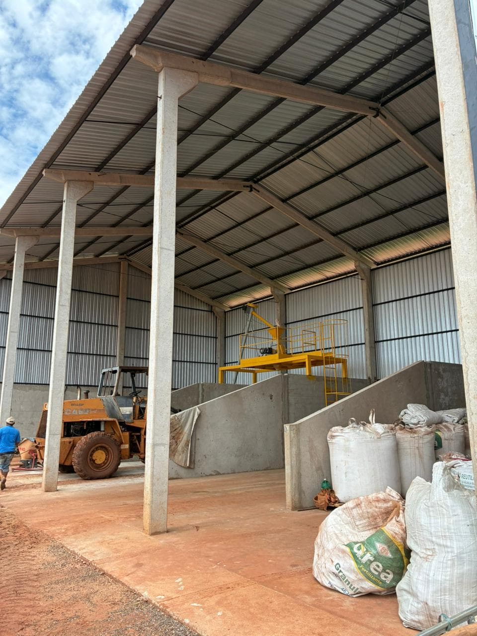
- grain processing and storage facilities
- storage capacity for 200 tons of corn
- complete water distribution infrastructure, including reservoirs, pipelines and water troughs
- operational infrastructure, including housing and cattle-handling facilities
Current Status
The project remains under development. Approximately 60% of the master plan has been completed.
Investments were intentionally phased so that the operation itself progressively generates the capital required for subsequent stages.
Full implementation is projected by the end of 2029.
Project Metrics
1,045 hectares
total property area
Approximately 900 hectares
productive area
2022
property inherited
2024–2029
development program
60%
master plan completed
200 metric tons
corn-storage capacity
In progress
project status
Project Documentation
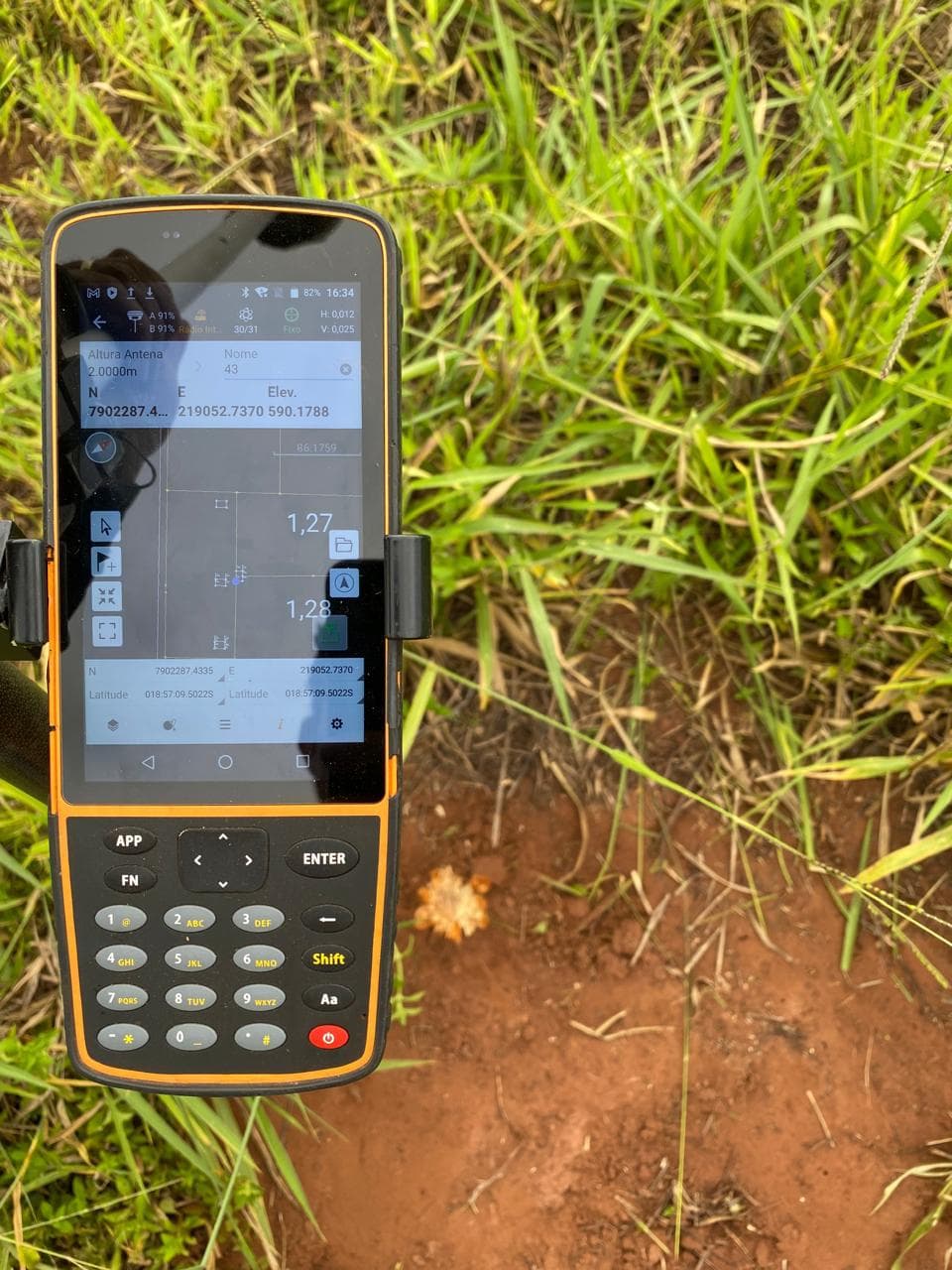
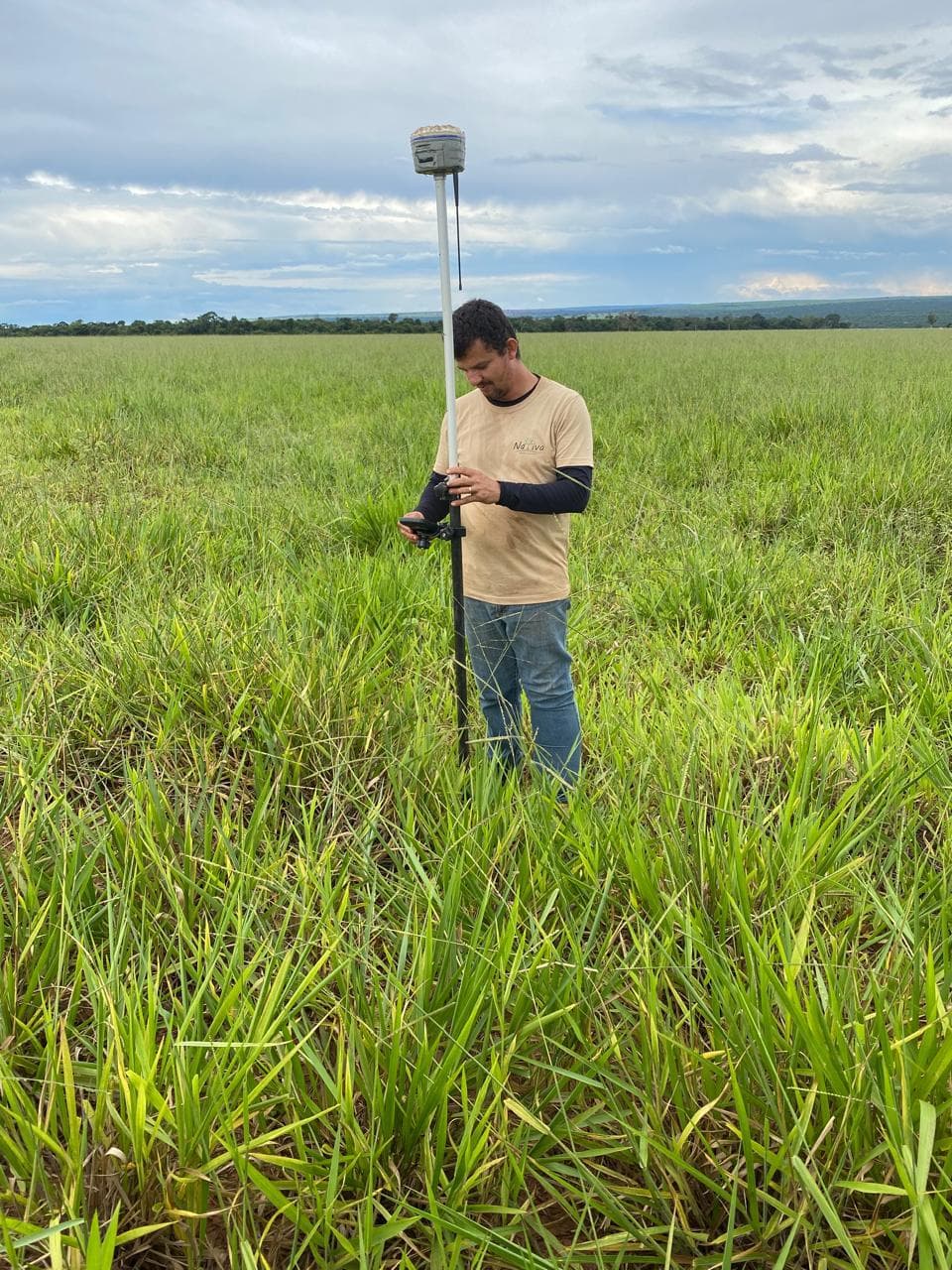
Planning & Assessment
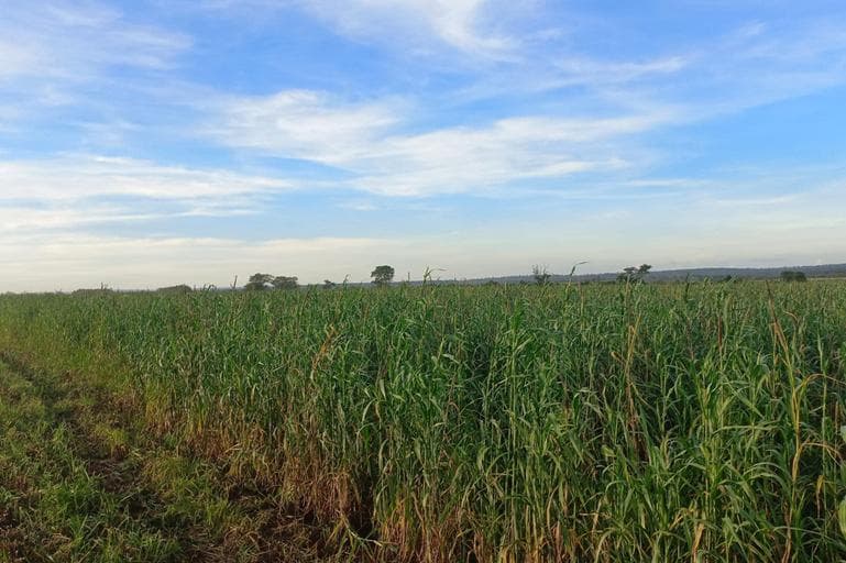
Implementation
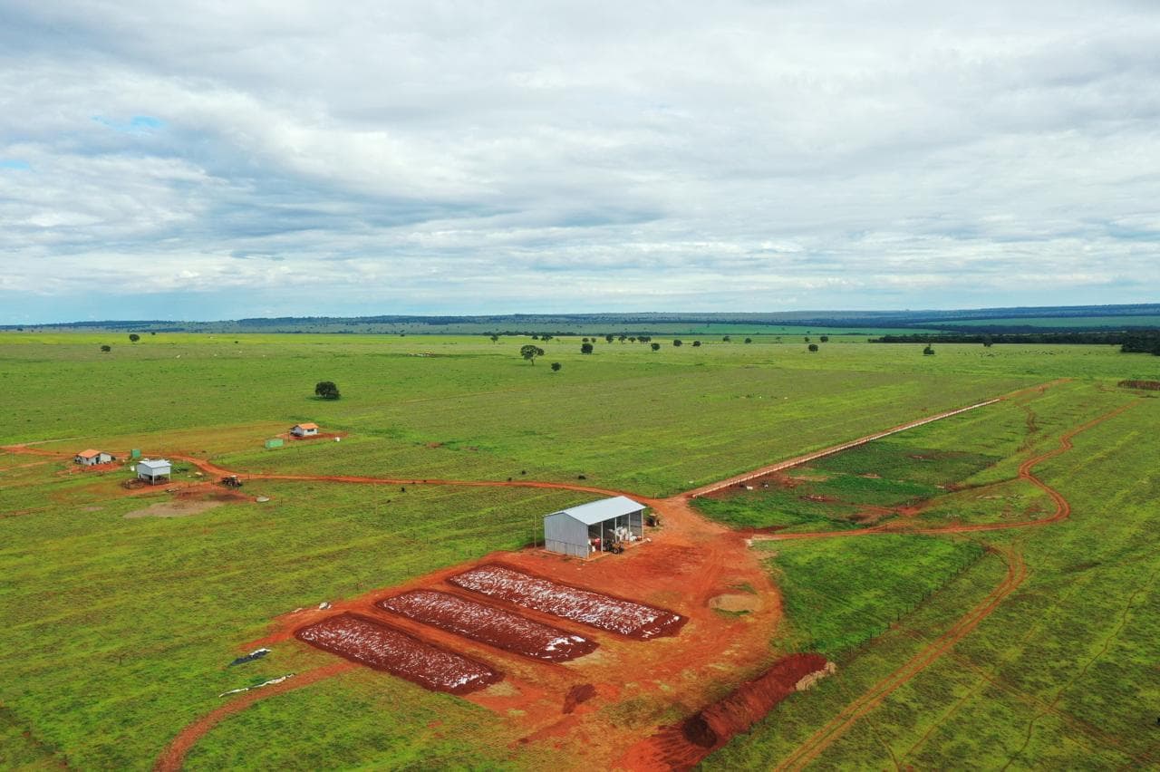
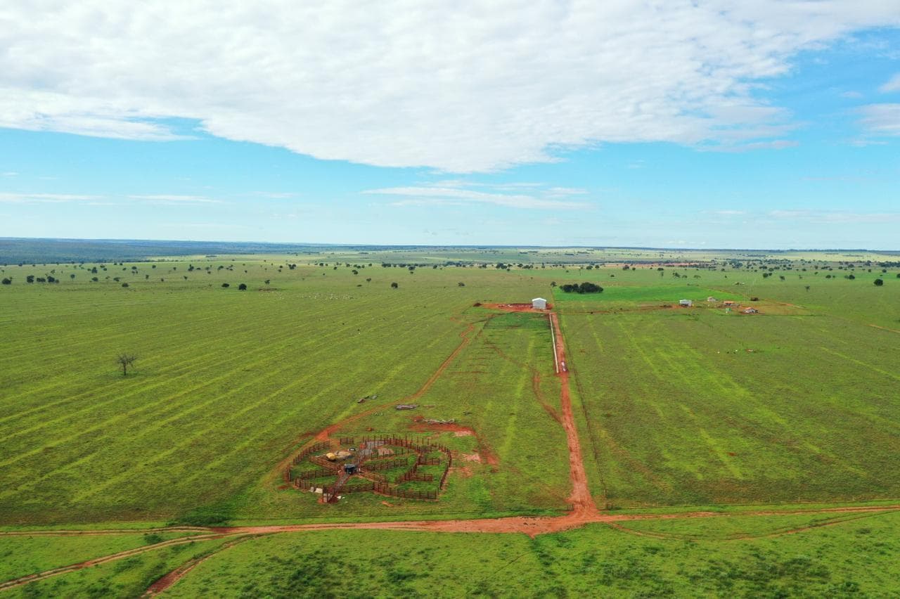
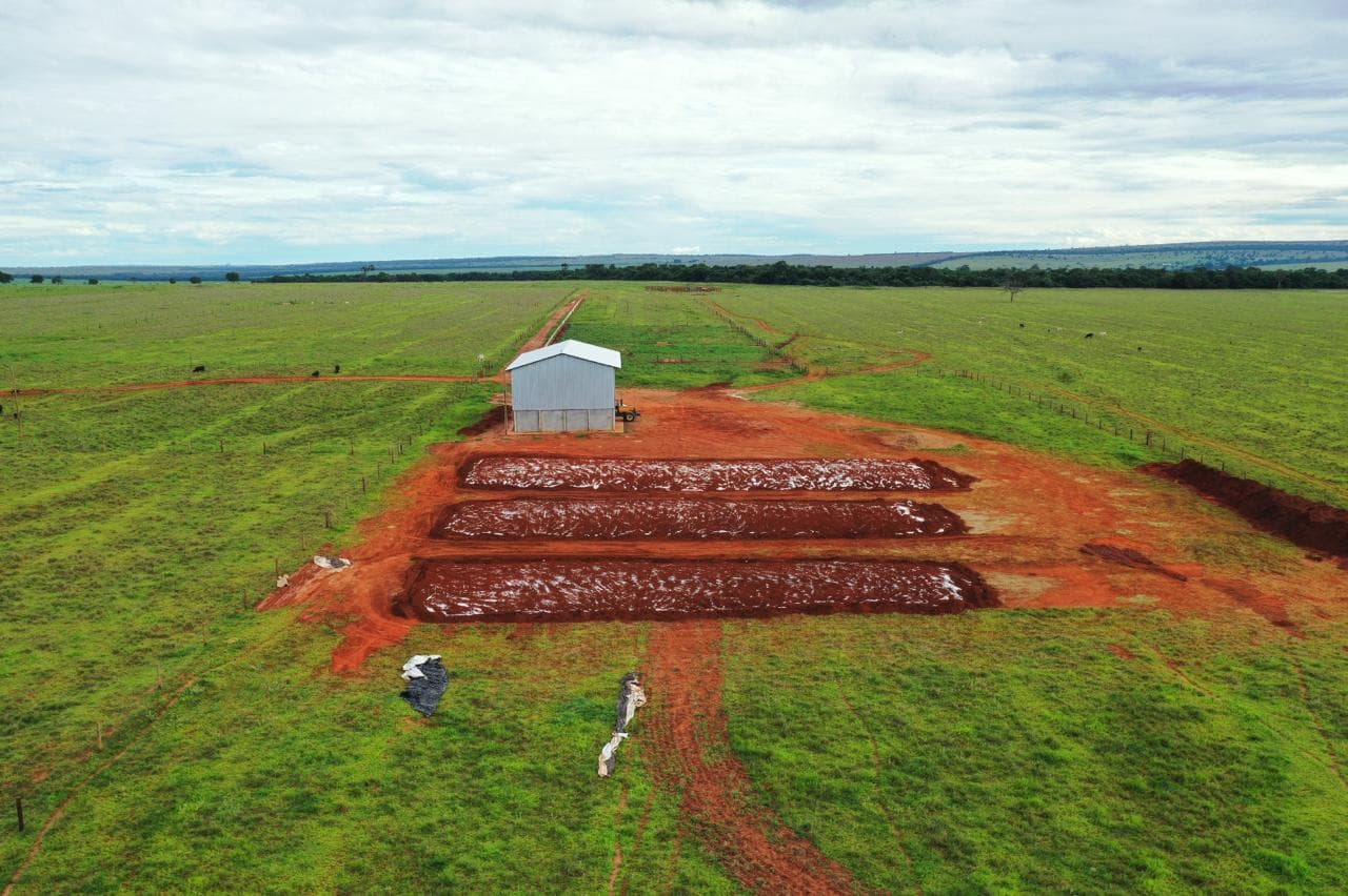
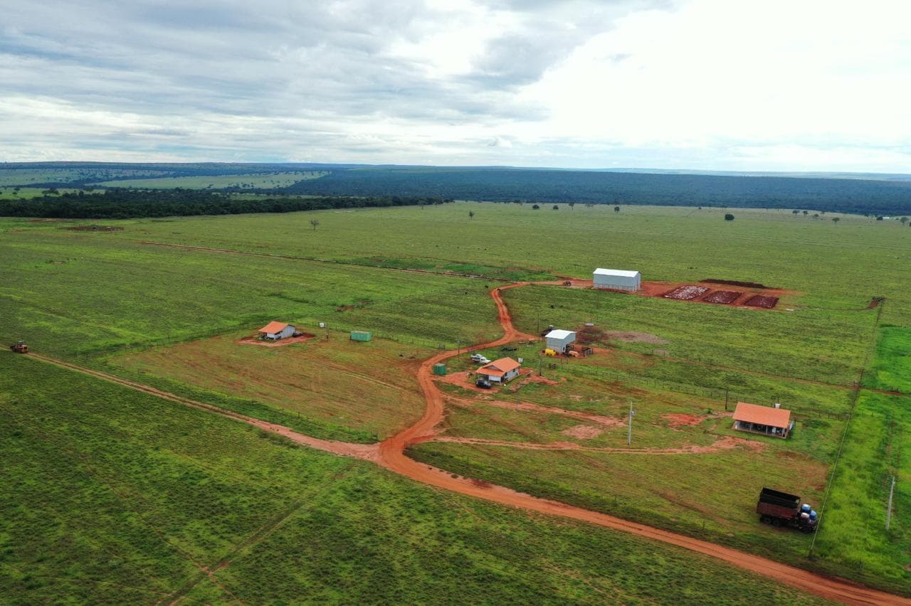
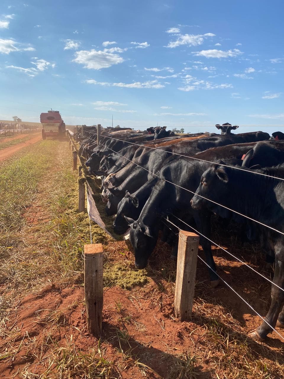
Current Operation
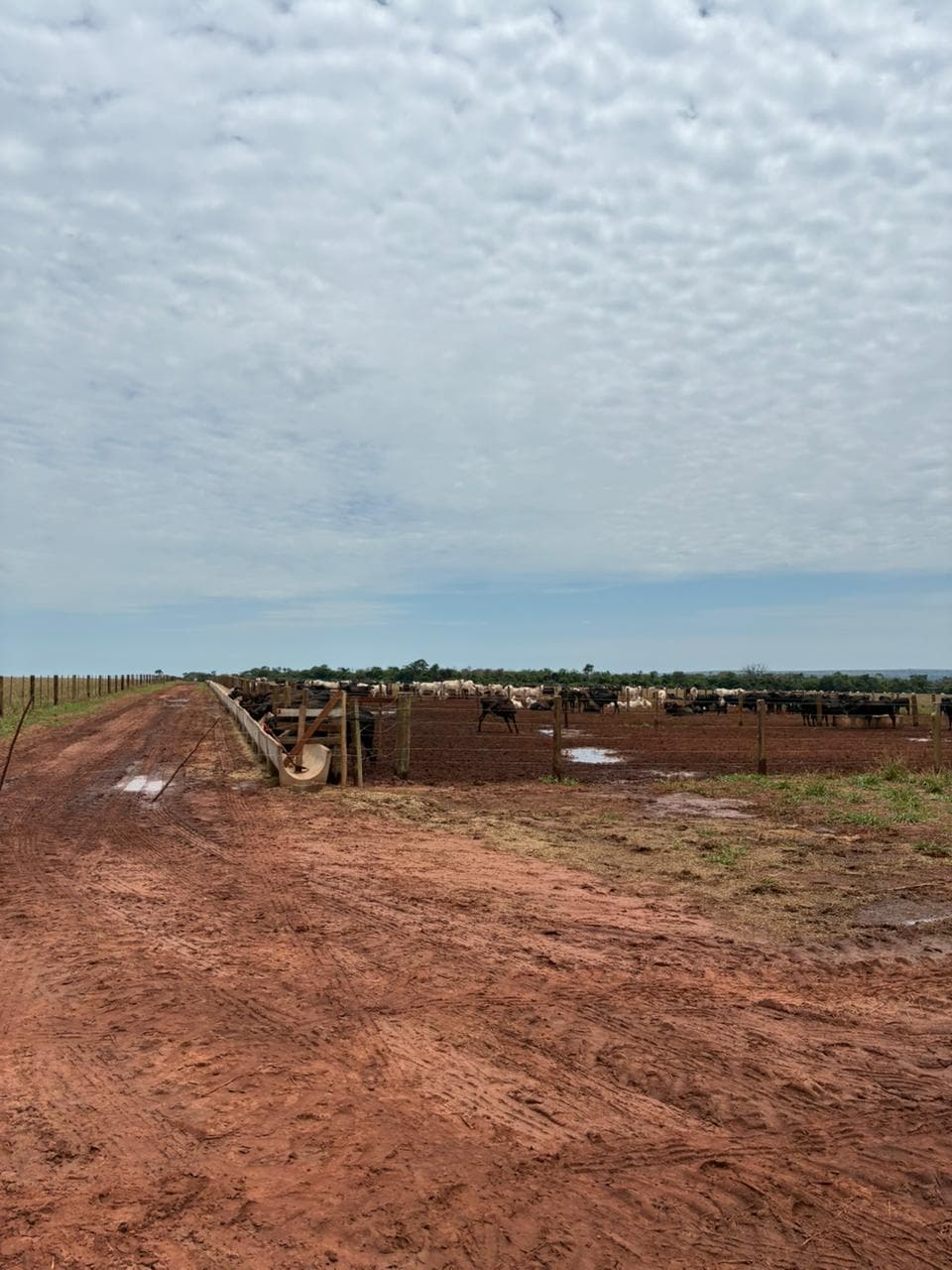
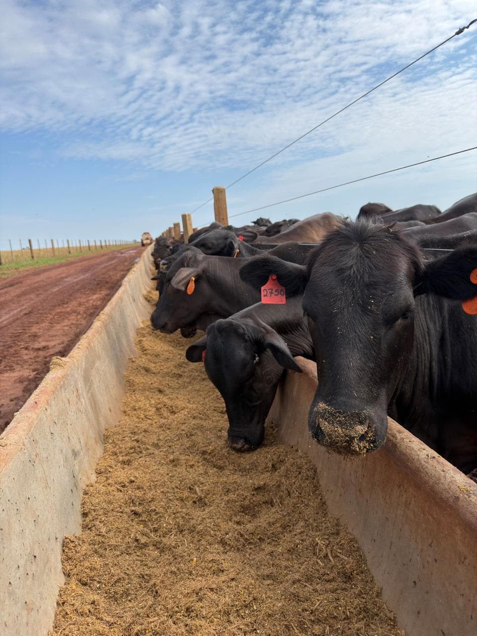
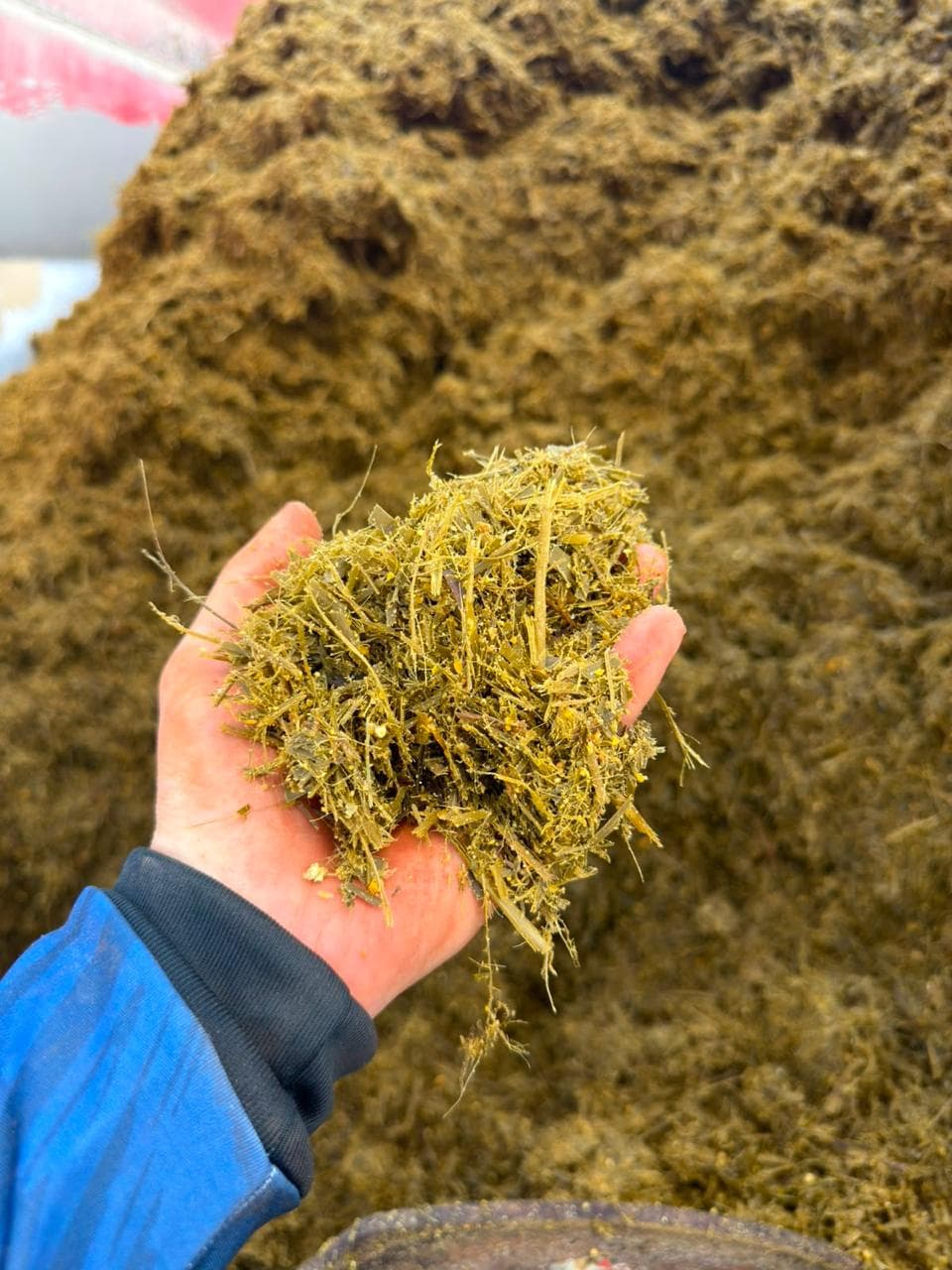
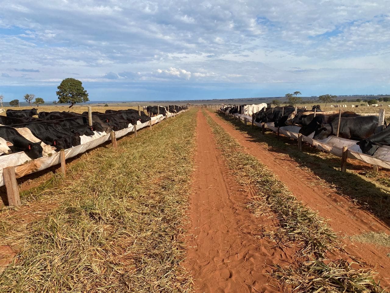
Engineering & Technical Evidence
Every stage of this project is backed by georeferenced technical documentation:
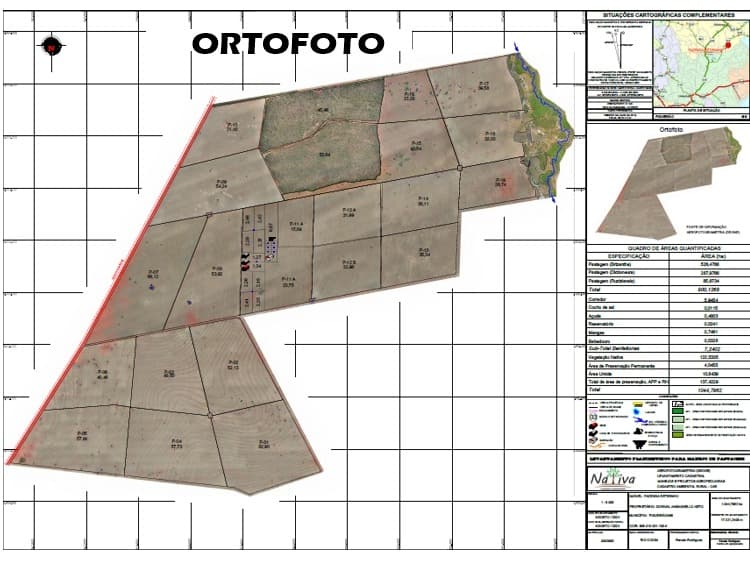
Orthophoto
Georeferenced aerial base map used as the foundation for all subsequent planning layers.
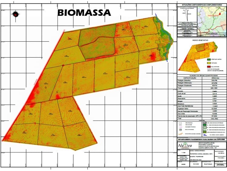
Biomass & Vegetation Index
Vegetation density analysis used to evaluate pasture condition and guide renovation priorities.
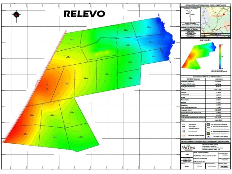
Elevation & Relief
Topographic elevation model used for drainage planning, road layout and contour conservation work.
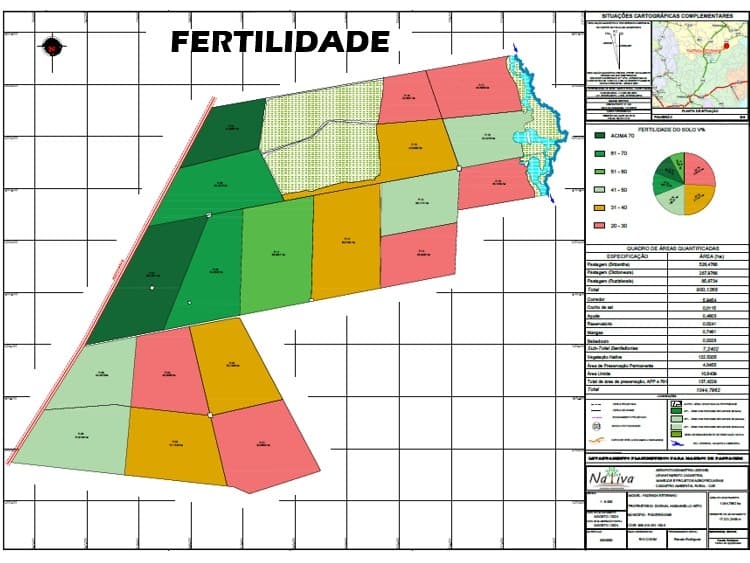
Soil Fertility
Soil fertility sampling results used to define correction and fertilization plans by zone.
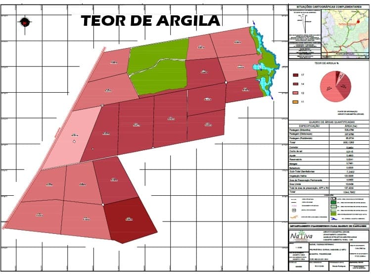
Soil Clay Content
Clay content mapping used to guide soil management and water infiltration planning.
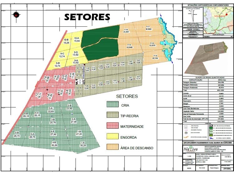
Production Sector Layout
Paddock and production-sector division plan defining breeding, growing, maternity, fattening and rest areas.
Why This Matters
This project demonstrates the ability to coordinate environmental, agronomic, engineering, financial and operational disciplines within a single long-term development strategy.
This integrated approach is the same methodology Oregon Farm Partners applies when representing international investors—ensuring every operational decision contributes to increasing productivity, reducing risk and maximizing long-term asset value.
Confidentiality
The property’s name, exact location and ownership details have been withheld to protect confidentiality.
This case study describes a real, active project currently being executed by Oregon Farm Partners.
Case Study
2,333-Hectare Integrated Cattle Ranch Development
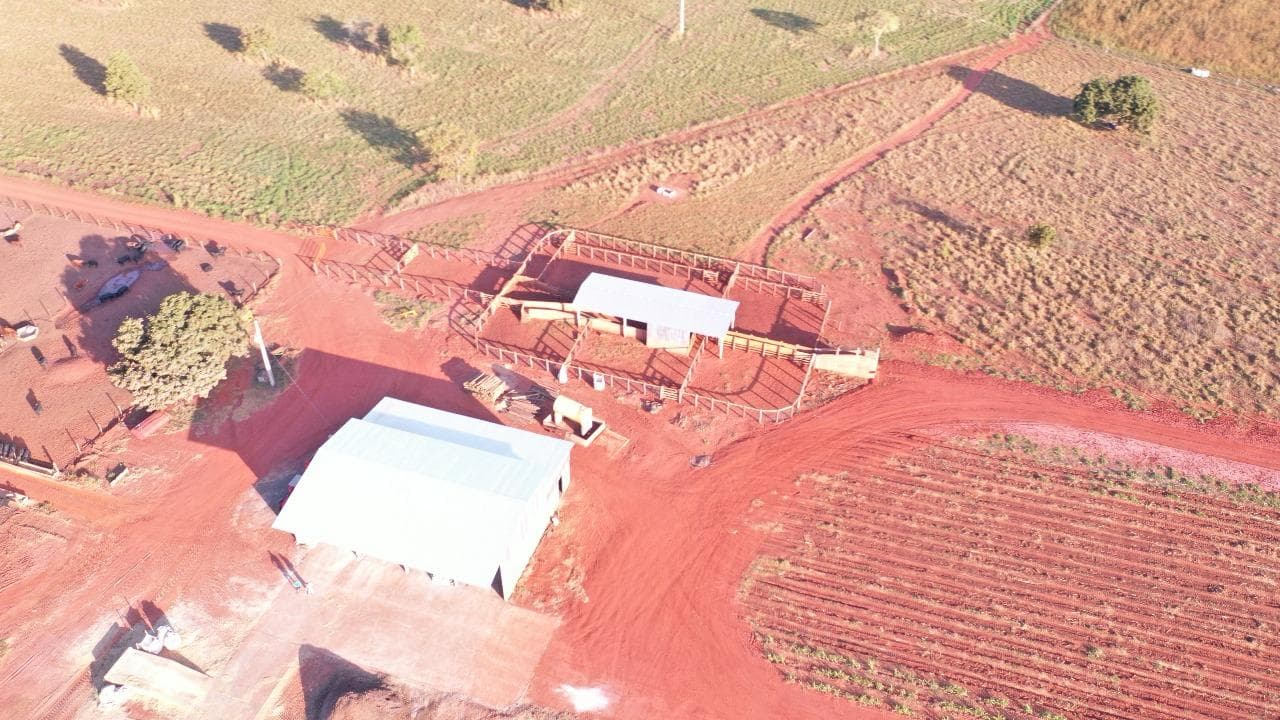
Inherited in 2020, this cattle ranch entered a comprehensive development program in 2021 that remains in progress.
The project covers a 2,333-hectare property, with approximately 1,726 hectares dedicated to agricultural and livestock production. The engagement began with drone mapping, soil sampling, and technical assessments that guided pasture rehabilitation, infrastructure planning, land division, and long-term production strategy.
A comprehensive short-, medium-, and long-term business plan was developed, establishing production targets, investment priorities, annual budgets, and commercialization objectives.
Operational Results
Historical operating performance across the development of the asset.
Operating Result
1300.27
R$/ha
Latest available year2025
Annual Profitability
28%
per year
Latest available year2025
Average Herd Size
3215
head
Stocking Rate
1.67
AU/ha
Beef Production
22.90
@/ha/year
2021
- Average Herd Size
- 1612
- Stocking Rate
- 0.84
- Operating Result
- 343.44
- Annual Profitability
- 9.92%
- Beef Production
- 8.20
2022
- Average Herd Size
- 2108
- Stocking Rate
- 1.05
- Operating Result
- 736.22
- Annual Profitability
- 15.40%
- Beef Production
- 10.80
2023
- Average Herd Size
- 2556
- Stocking Rate
- 1.26
- Operating Result
- 1540.45
- Annual Profitability
- 22.10%
- Beef Production
- 14.30
2024
- Average Herd Size
- 2741
- Stocking Rate
- 1.45
- Operating Result
- 2267.94
- Annual Profitability
- 72%
- Beef Production
- 17.51
2025Latest
- Average Herd Size
- 3215
- Stocking Rate
- 1.67
- Operating Result
- 1300.27
- Annual Profitability
- 28%
- Beef Production
- 22.90
Methodology: Results are calculated using the COE, COT and CT cost methodologies.
Challenge
The property required a complete operational restructuring.
Pastures were in an advanced state of degradation and the existing operational infrastructure was insufficient to support efficient production.
A phased development strategy was created to rehabilitate the pastures, expand the herd gradually and modernize the entire production system.
Today the operation significantly exceeds the national average, reaching approximately 23 arrobas per hectare during 2025 while generating livestock profitability exceeding R$ 2,200 per productive hectare during the 2024/2025 production cycle.
Scope of Work
The scope of work includes:
- environmental licensing and regulatory approvals
- water-use permits
- soil correction and fertility improvement
- contour verification, recovery and land conservation
- pasture renovation
- establishment and production fertilization
- internal paddock subdivision
- rotational grazing implementation
- feeding area construction
- installation of concrete feed bunks
- feed distribution infrastructure using a mixer wagon
- construction and rehabilitation of internal roads
- grain processing and storage facilities
- grain storage capacity for 120 tons of corn
- complete water distribution infrastructure, including reservoirs, pipelines and water troughs
- operational infrastructure, including housing and cattle-handling facilities
Current Status
The project remains under development. Approximately 90% of the master plan has already been completed.
Investments were intentionally phased so that the operation itself progressively generated the capital required for each subsequent stage.
Full implementation is projected by the end of 2026.
Operational Performance
2,333 hectares
total property area
Approximately 1,726 hectares
productive area
23 arrobas per hectare
productivity (2025)
Above R$ 2,200 per productive hectare
livestock profitability (2024/2025 cycle)
90%
master plan completed
In progress
project status
Project Documentation
Planning & Technical Assessment
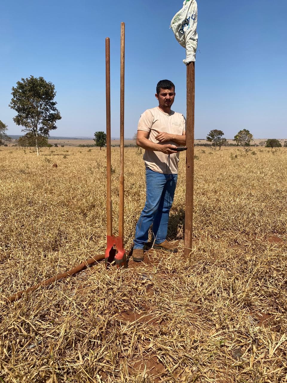
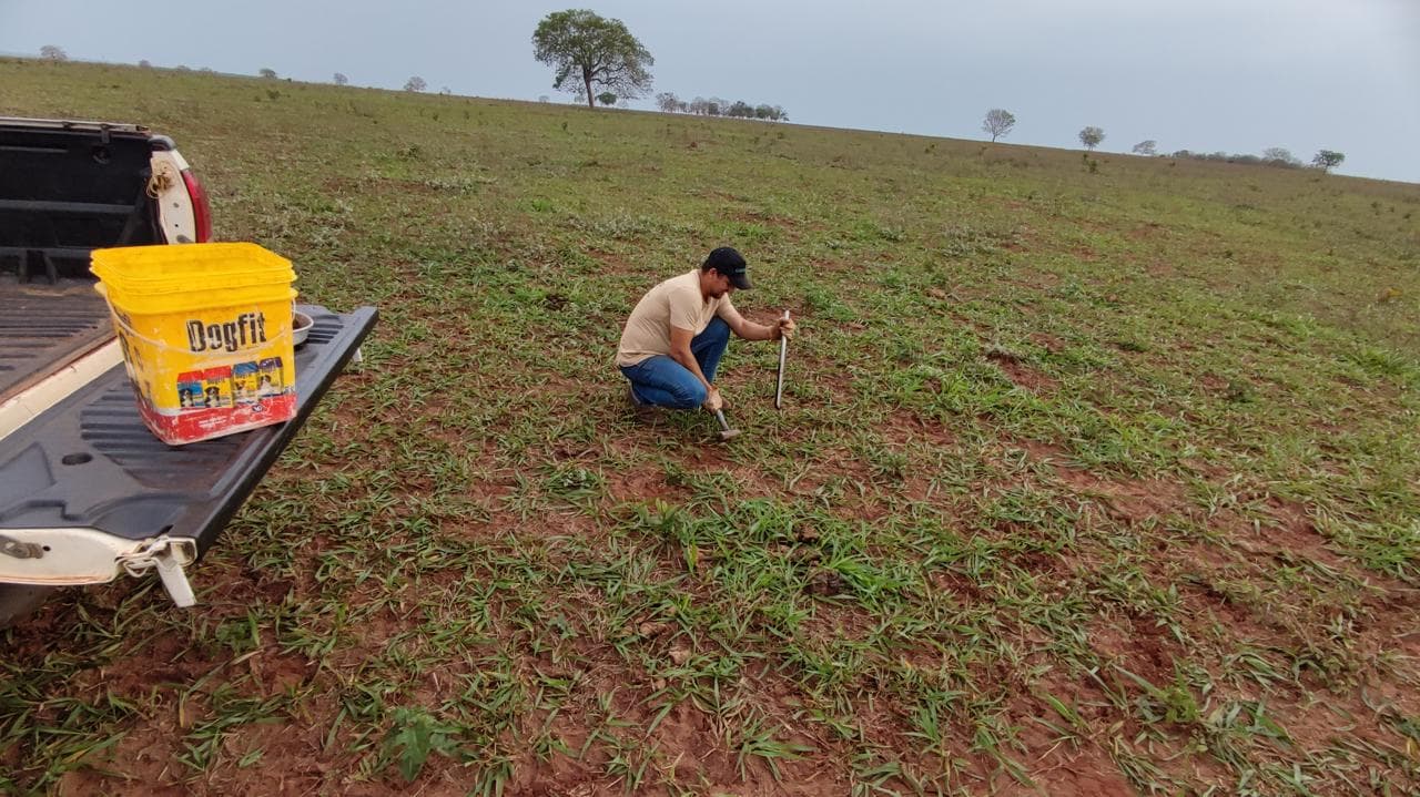
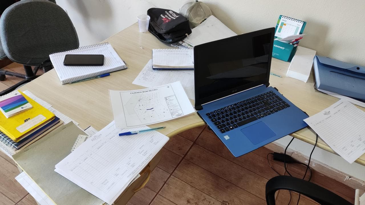
Pasture & Land Development
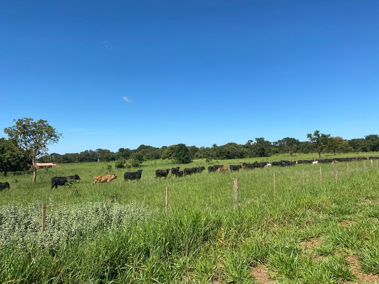
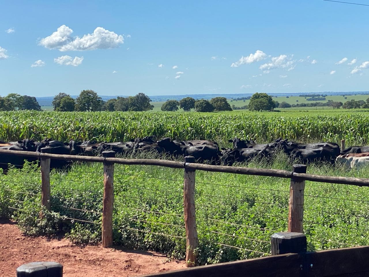
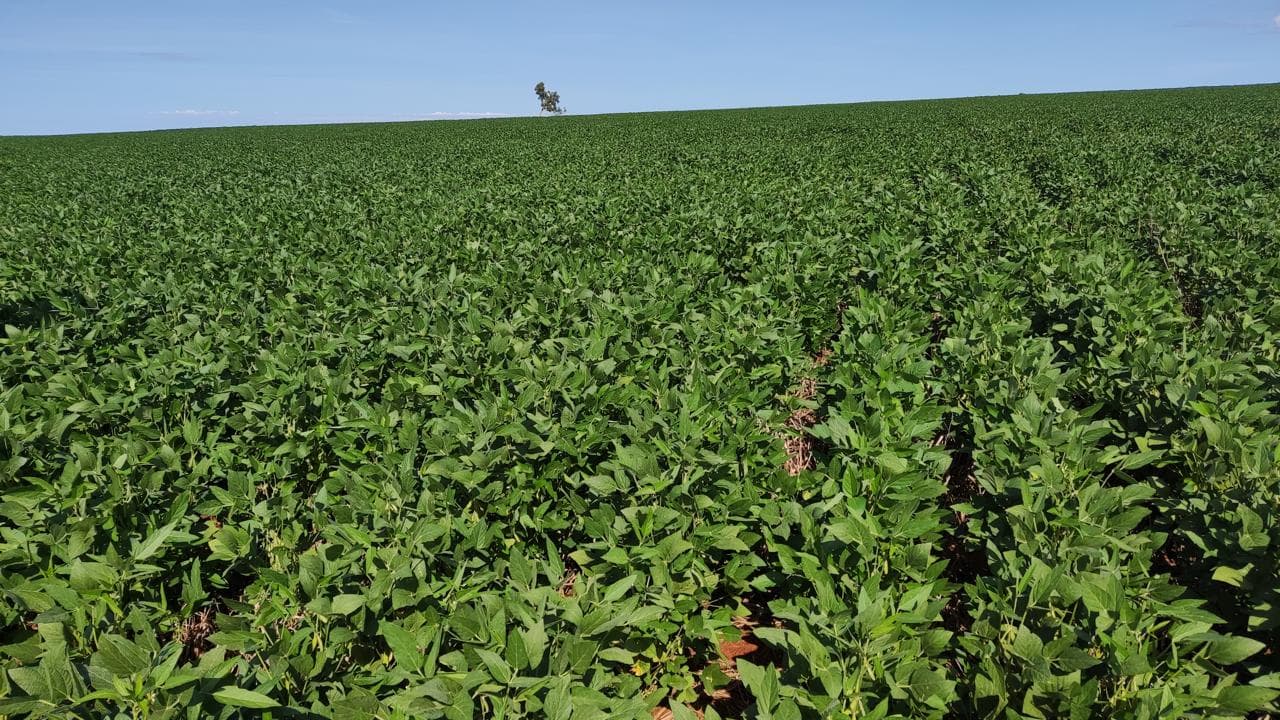
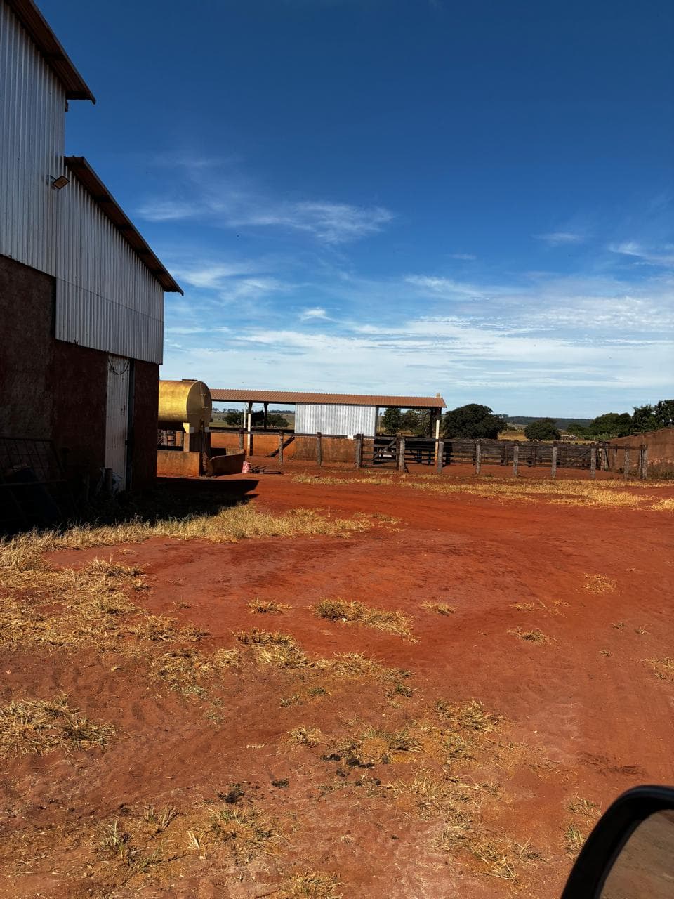
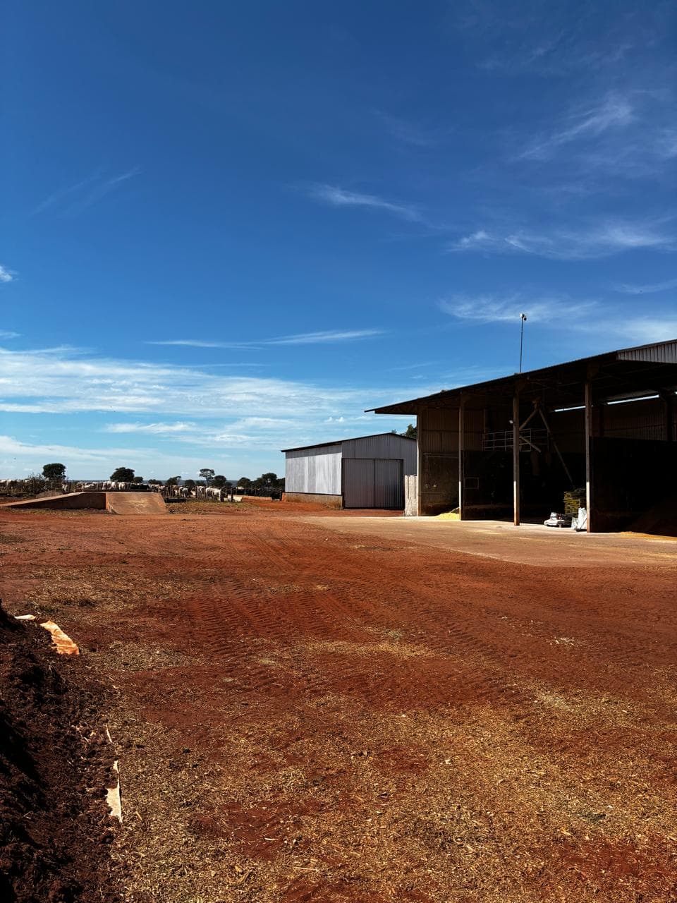
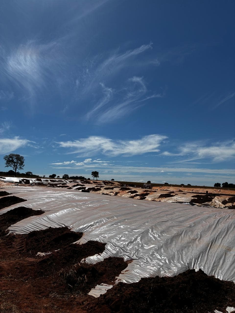
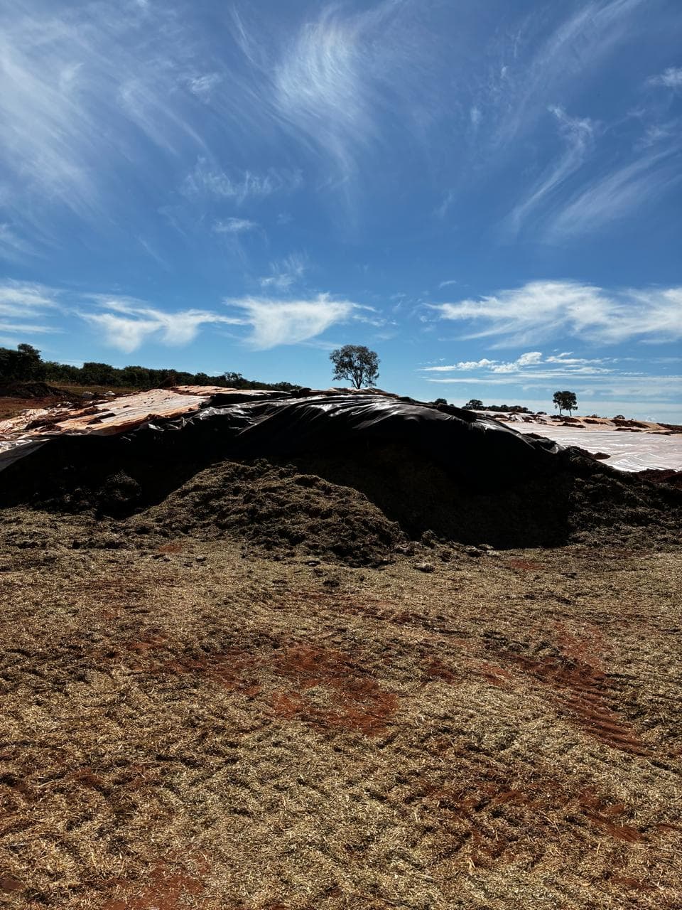
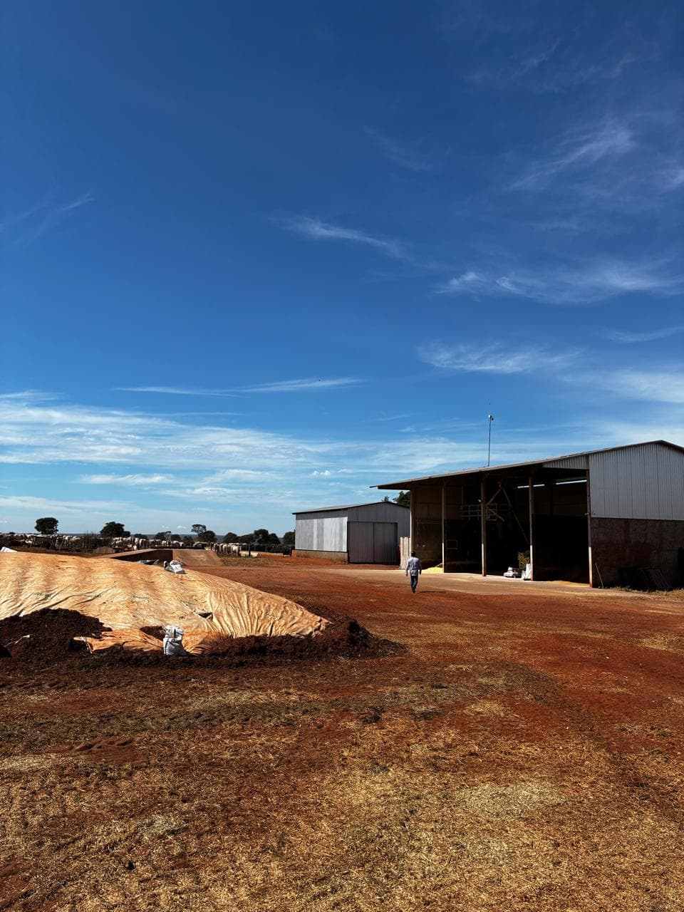
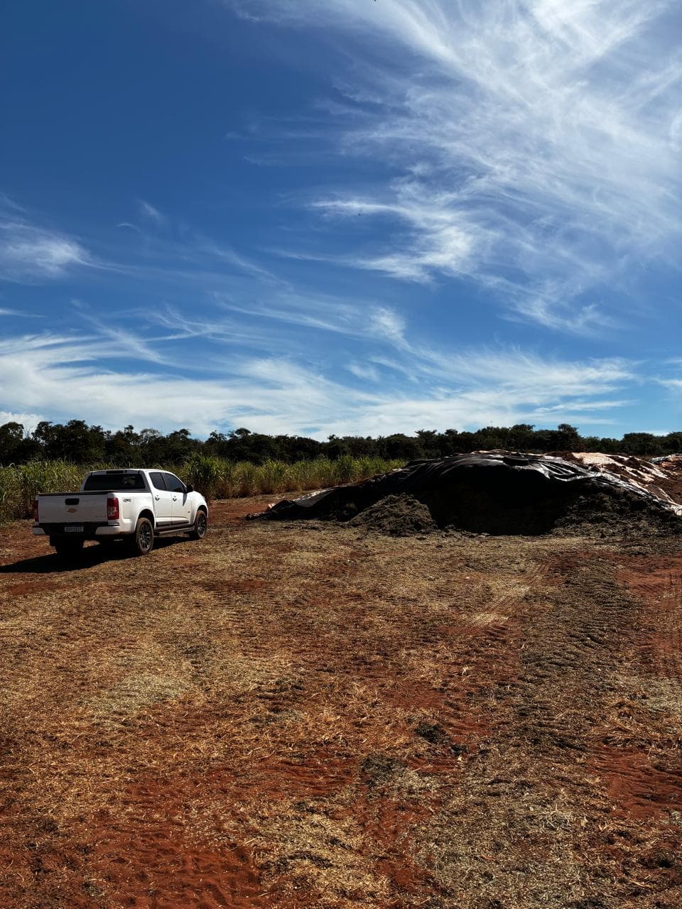
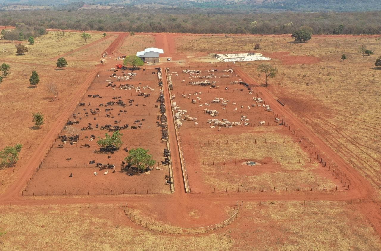
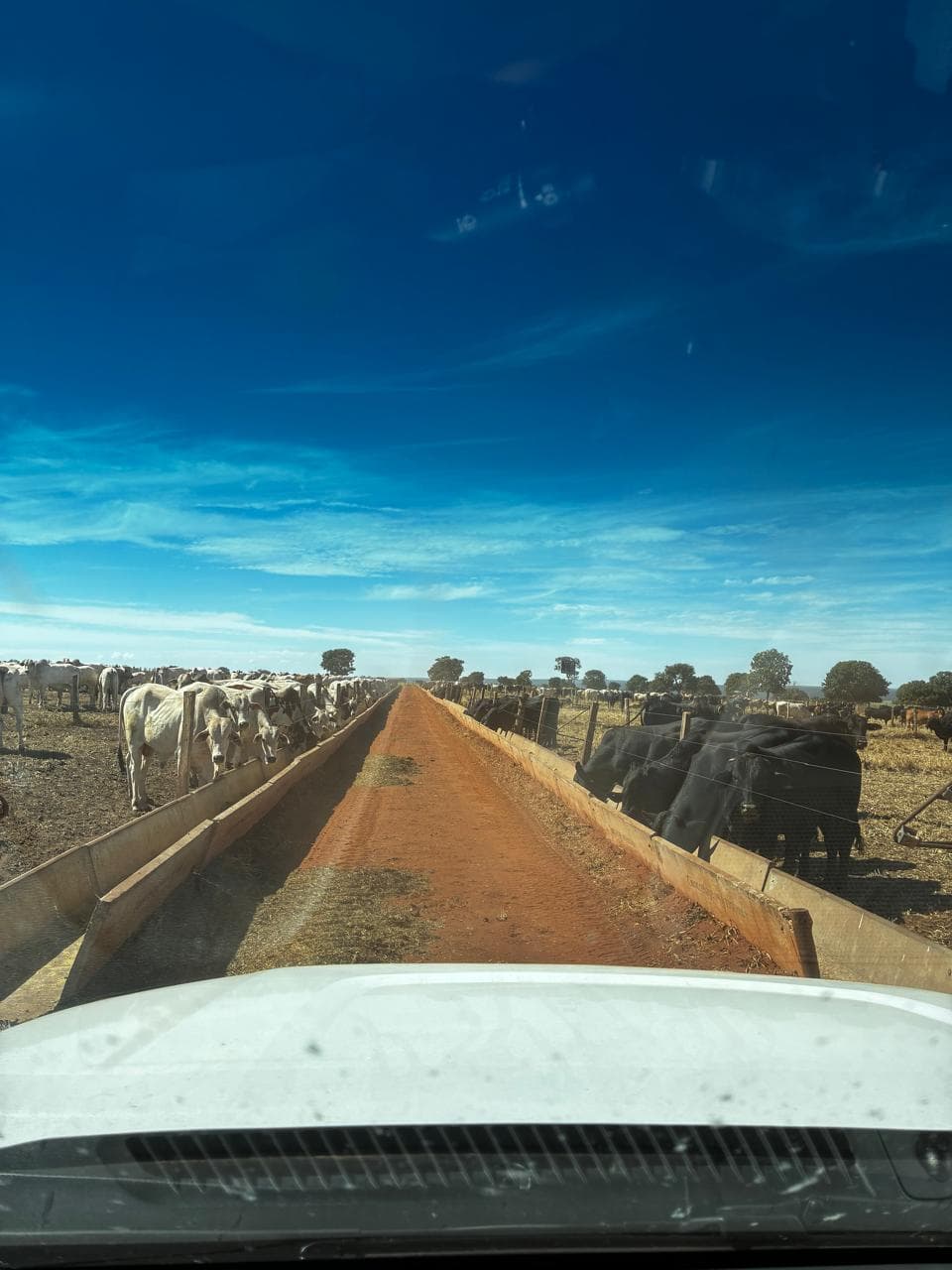
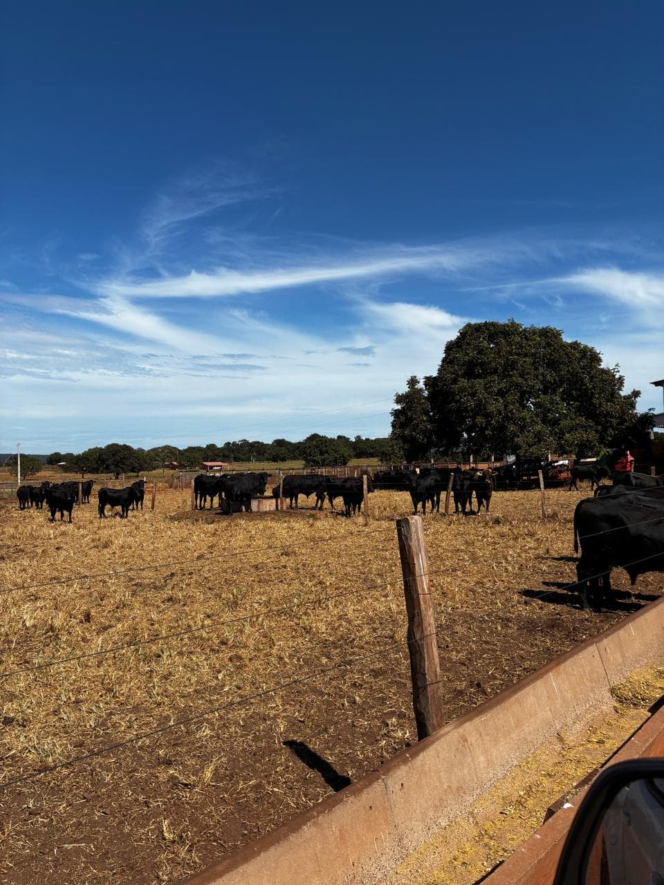
Feedlot & Operational Infrastructure
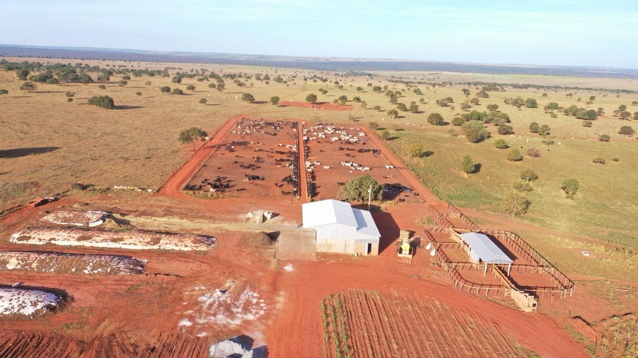
Current Production
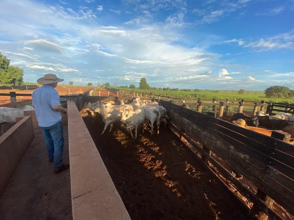
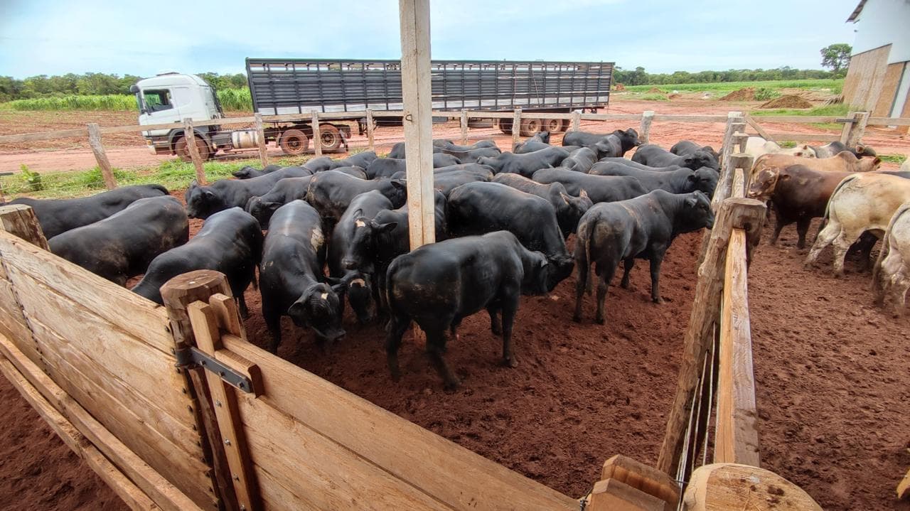
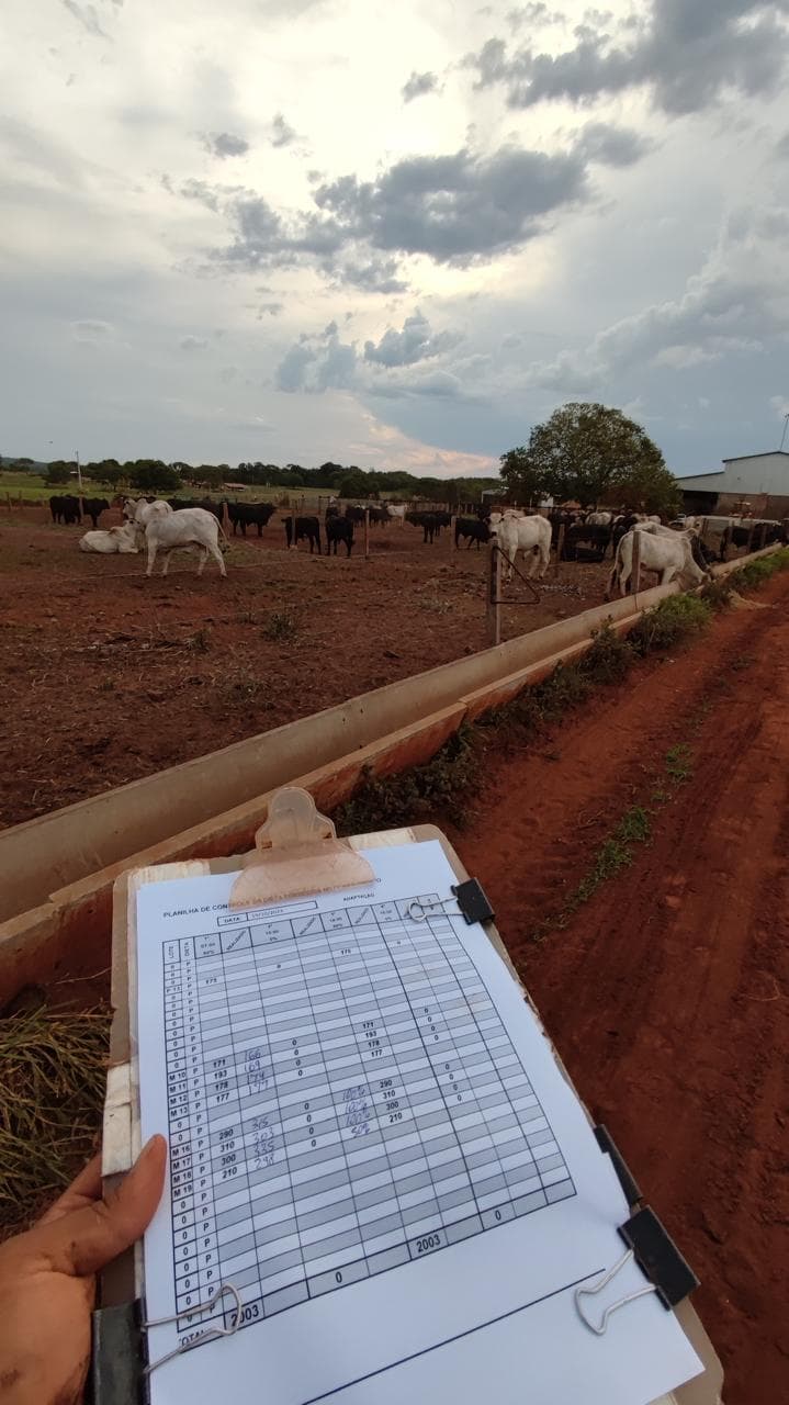
Engineering & Technical Evidence
Every stage of this project is backed by georeferenced technical documentation:
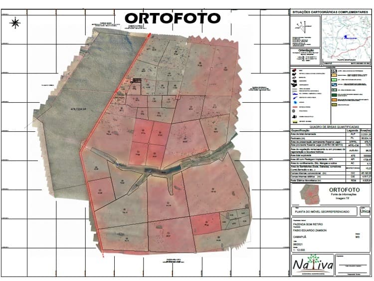
Orthophoto
Georeferenced aerial base map used as the foundation for every subsequent planning layer.
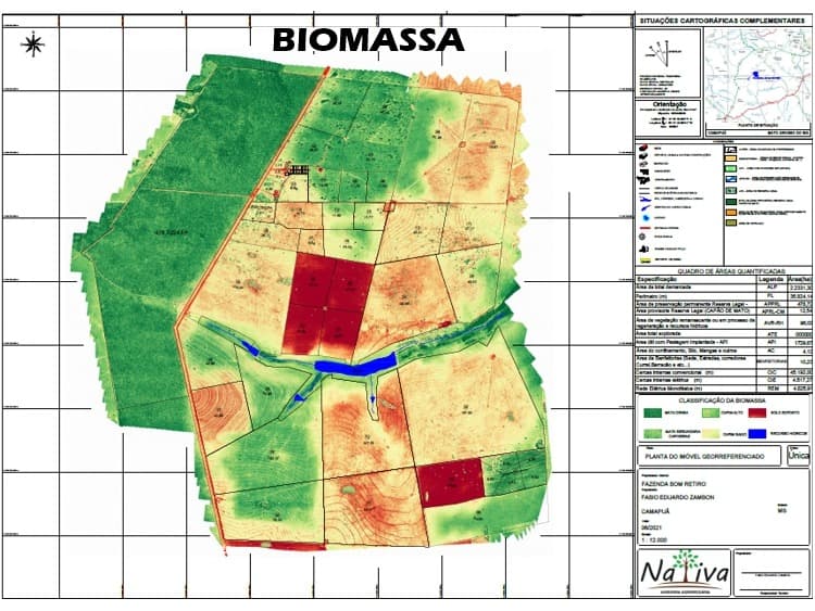
Biomass & Vegetation Index
Vegetation density analysis used to assess pasture condition and prioritize renovation.
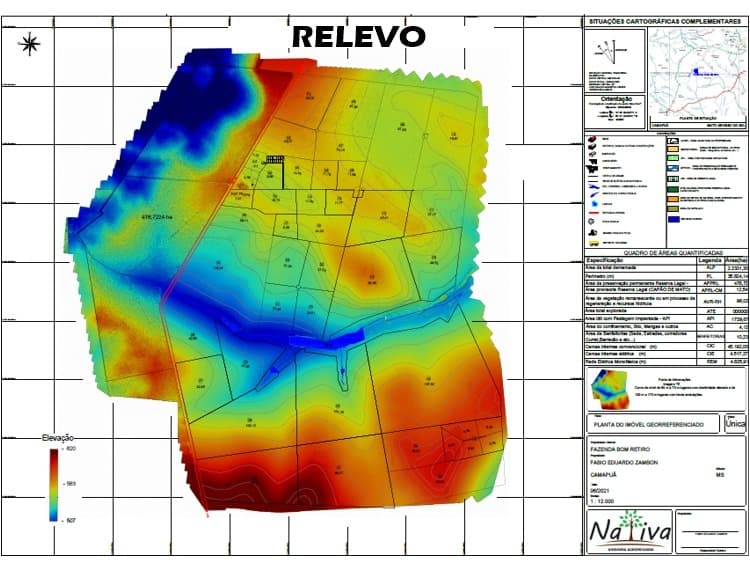
Elevation & Relief
Topographic elevation model used for drainage planning, road layout and contour conservation.
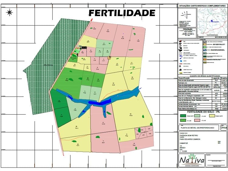
Soil Fertility
Soil-fertility sampling results used to define correction and fertilization plans by zone.
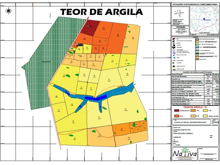
Soil Clay Content
Clay-content mapping used to guide soil management and water-infiltration planning.
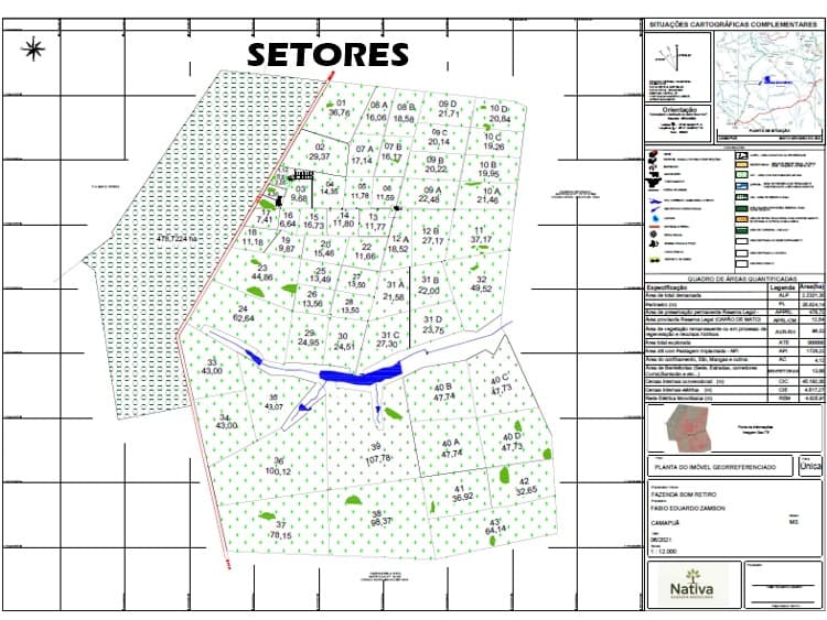
Production Sector Layout
Paddock and production-sector division plan defining grazing, feeding and rest areas.
Why This Matters
This project demonstrates the ability to coordinate environmental, agronomic, engineering, financial and operational disciplines while delivering measurable production and profitability improvements.
The same integrated methodology is applied by Oregon Farm Partners when representing international investors, ensuring every operational decision contributes to higher productivity, lower operational risk and greater long-term asset value.
Confidentiality
The property’s name, exact location and ownership details have been withheld to protect confidentiality.
This case study describes a real, active project currently being executed by Oregon Farm Partners.
A completed project is only the beginning. Every active investment is monitored continuously.
See how you stay informedStrong rural operations are built through planning, coordination and disciplined execution.
Schedule a Confidential Consultation